Η Geosystems Hellas, επίσημος μοναδικός μεταπωλητής και αντιπρόσωπος της Hexagon Safety, Infrastructure & Geospatial (SIG) στην Ελλάδα και Κύπρο, παρουσιάζει το Partner Perspectives - το video newsletter της Hexagon που…
Geosystems Hellas in Greece’s National Microsatellite Program
Geosystems Hellas is proud to participate in AXIS 3 of Greece’s National Microsatellite Program.
The company acts as prime contractor for the implementation…
The Golden Twins: Mapping the Limassol Wildfire in Cyprus with GTFire
The July 2025 wildfire in Limassol, Cyprus, was analysed using GTFire, an advanced wildfire monitoring tool developed within The…
The Greek Space Tech Forum 2025 was successfully held on July 1–2 at the Athens Conservatory, with online streaming also available. The event highlighted Greece’s growing presence in the global…
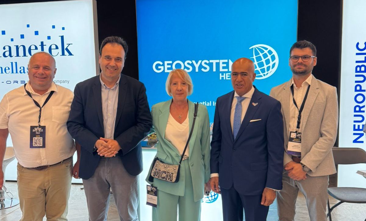
Geosystems Hellas is participating in Living Planet Symposium 23-27 June 2025 at Vienna, Austria, to present how Earth Οbservation data and technologies, can contribute to understanding and addressing environmental and societal…
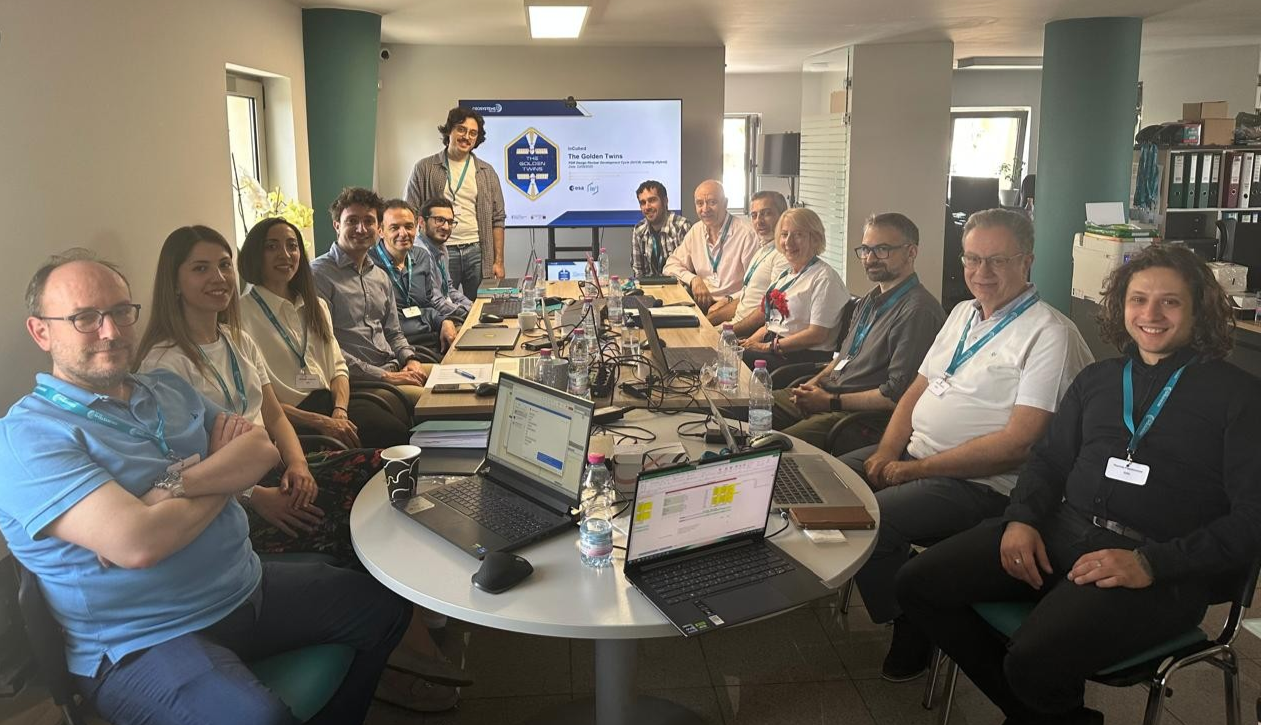
On Friday, 23 May 2025, Geosystems Hellas (GSH) participated in the review meeting of the Golden Twins project, marking the conclusion of the derisking phase. The meeting was held with…
Geosystems Hellas participates in the National Microsatellites Program, contributing to AXIS-3 SAT4GAIA as Coordinator and SAT4FOREST as Co-prime. In an interview with CNN Greece and journalist Kalliroi Peponi, Nektarios Chrysoulakis,…
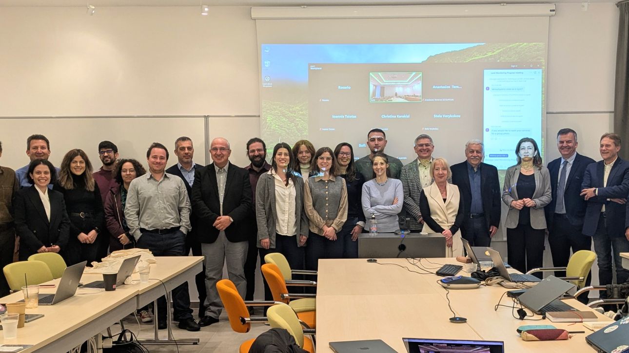
A working meeting for the “Land & Forest” services of Axis 3 of the Greek Microsatellites project was held at the Foundation for Research and Technology – Hellas (FORTH) on…
The recent seismic activity between Santorini and Amorgos has highlighted the need for systematic monitoring of geohazards in Greece, especially in areas exposed to earthquakes, landslides, soil erosion, subsidence, and…
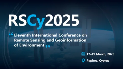
GEOSYSTEMS HELLAS S.A. (GSH) is proud to sponsor the 10th International Conference on Remote Sensing and Geoinformation of Environment (RSCY 2025), taking place in Cyprus.
RSCY 2025 brings together experts,…
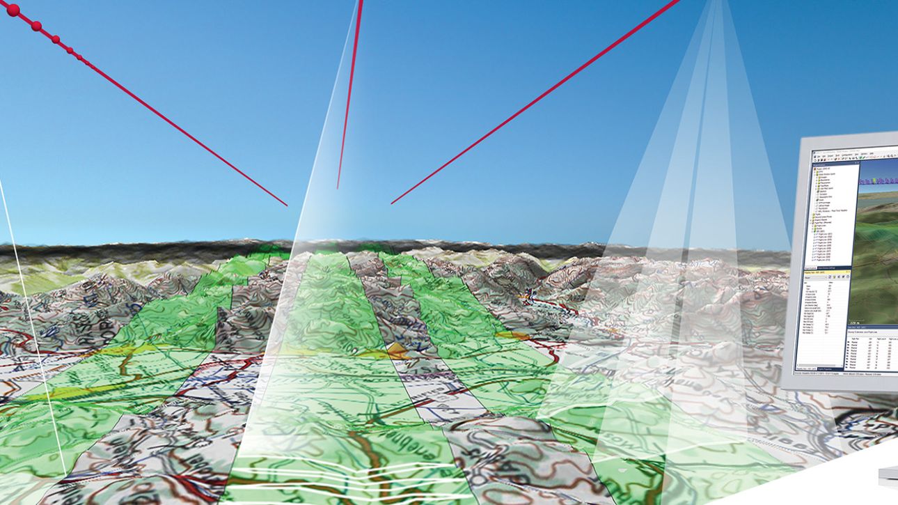
Leica MissionPro Flight Planning Software
Mission Planning in Another Dimension 1 + 1 = 3D is the ultimate formula for successful collaboration: when two get together, something new is created. Leica…