Leica XPro - Post Processing Software
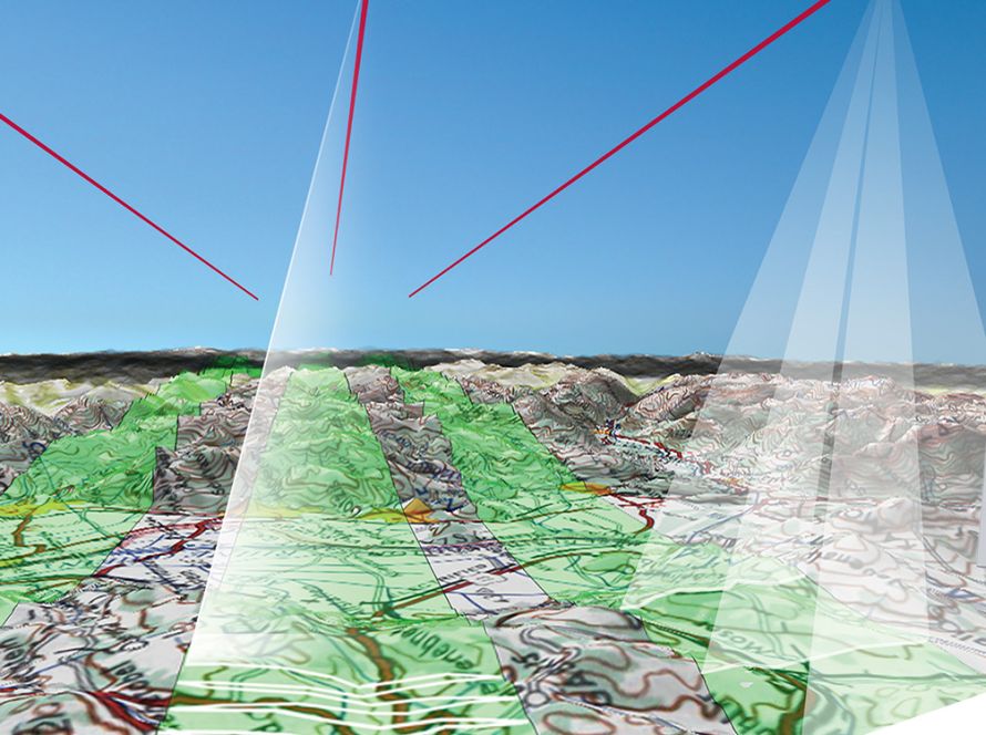
Leica XPro is post-processing software for airborne imagery and photogrammetry workflows.
It supports fast data processing from image download to orthophoto generation. The software also includes quality control tools that help users check the success of a data capture mission at an early stage.
Leica XPro is designed for line sensor workflows. It offers a straightforward process for users who are familiar with traditional photogrammetric processing.
The software supports direct georeferencing using NovAtel SPAN Inertial Position & Attitude System data. It also improves accuracy through aerial triangulation.
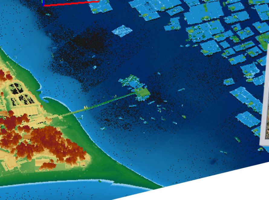
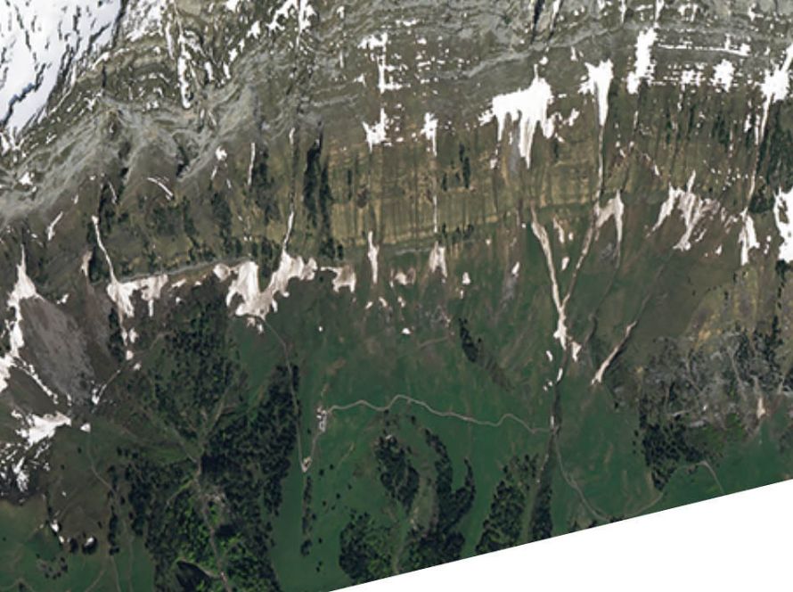
Leica XPro can generate stereoviewable images, high-resolution orthophotos and surface model products. These outputs can be used in digital photogrammetry, city modelling, mining, mapping and geospatial production workflows.
Key Benefits
- Fast airborne image post-processing
- Quality control from the early processing stage
- Workflow from download to orthophoto generation
- Direct georeferencing support
- Simplified aerial triangulation
- High-resolution orthophoto production
- DSM generation from ADS images
- Support for distributed processing
Applications
Leica XPro can support:
- Airborne image processing
- Orthophoto production
- Aerial triangulation
- Digital photogrammetry
- DSM generation
- City modelling
- Mining applications
- Geospatial data production
Going for gold
Leica XPro DSM has proven itself as a valuable tool for ortho production, city modeling or in application specific image processing, such as the mining industry. XPro DSM in use for monitoring the Kalgoorlie Super Pit – the Australia’s largest open cut gold mine