Leica SPL100 Single Photon LiDAR Sensor
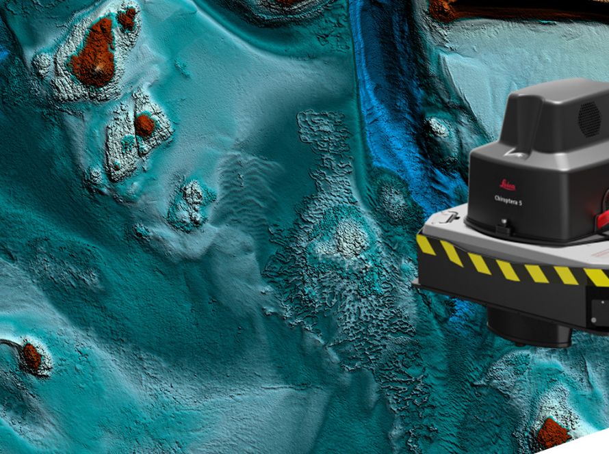
Leica SPL100 is a single photon LiDAR airborne sensor for large-area terrain mapping projects.
It captures LiDAR data over large areas at a low cost per data point. The system uses 100 output beams and collects up to 6 million measurements per second.
Leica SPL100 is ideal for projects that require high-density point clouds over wide areas. It can collect 12 to 30 points per square metre, depending on flying height.
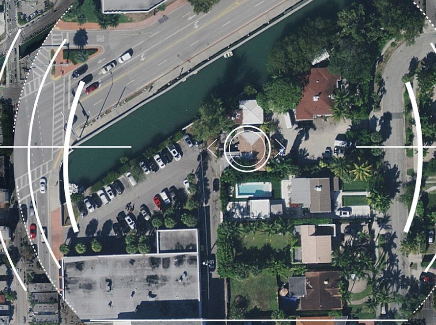
The system also includes an 80 MP RGBN camera. This allows users to combine LiDAR and image data for more complete mapping outputs.
Leica SPL100 can operate during the day or at night. It also performs in leaf-on and leaf-off conditions, dense vegetation and challenging environments.
Data Collection in Challenging Conditions
Leica SPL100 can penetrate semi-transparent obstacles, such as:
- Vegetation
- Ground fog
- Thin clouds
This makes it suitable for terrain mapping in areas where traditional sensors may face limitations.
Applications
Leica SPL100 supports large-area mapping applications, including:
- Country and state-wide mapping
- Disaster risk planning
- Emergency management
- Forest inventory
- Flood mapping
- Soil erosion monitoring
- Terrain and elevation mapping
Highest Efficiency
Leica SPL100 is designed for efficient large-area LiDAR mapping.
It collects up to 6 million points per second using 100 output beams. This helps reduce the cost per data point and improves productivity for large mapping projects.
Fast Processing with Leica HxMap
Leica SPL100 works with Leica HxMap, a multisensor LiDAR and imaging post-processing workflow.
Leica HxMap supports:
- High data throughput
- Faster data delivery
- Efficient multisensor processing
- Reduced workstation limitations
- Lower training requirements
This creates a complete workflow from LiDAR data capture to final product generation.
Downloads
Services
Videos
Related Products
Related Links
Single Photon LiDAR
The logical next step in airborne LiDAR mapping? How to capture data up to 10 times more efficiently.