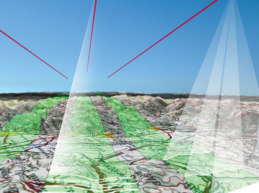
Leica MissionPro Leica MissionPro is an advanced 3D mission planning software designed for all Leica Geosystems and third-party airborne sensors. It combines features from …
Leica FPES Leica FPES is flight planning software designed for airborne mapping missions using Leica RC30, ADS40, ADS80 and ALS LiDAR sensors, …

Leica IPAS Freebird Leica IPAS Freebird is GNSS-IMU processing software designed to improve flight economy and simplify airborne data acquisition workflows. The …
Leica FCMS & Sensor Control Management System software performs a series of functions such as planning, guidance and flight monitoring for a …
Leica XPro is a specialized photogrammetric workflow software developed by Leica Geosystems. It is primarily designed to process data from their airborne digital line …
ORIMA Orientation Management of Leica Geosystems software is a modern software for orientations aerial triangulations. It’s fully compatible with IMAGINE photogrammetry and …