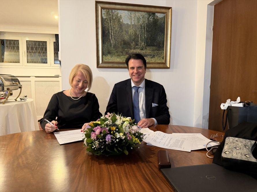
Geosystems Hellas in Greece’s National Microsatellite Program
Geosystems Hellas is proud to participate in AXIS 3 of Greece’s National Microsatellite Program.
The company acts as prime contractor for the implementation of the Earth monitoring service. This service converts satellite data into reliable information. As a result, it supports environmental monitoring, security, and data-driven decision-making.
Supporting Greece’s Space Capabilities
The National Microsatellite Program is an important step for Greece’s space sector.
Through this program, Greece aims to develop its own satellite capabilities. Therefore, the country can strengthen its autonomy in the collection, processing, and use of critical satellite information.
The program is financed by the Recovery Fund – Greece 2.0. It includes the acquisition of 13 satellites and the creation of an autonomous Greek satellite constellation.
This is a major technological milestone. For the first time, Greece is moving towards its own satellites, designed to serve national needs.
What AXIS 3 Includes
AXIS 3 focuses on the development of geospatial services for the Greek public sector.
More specifically, it includes the creation of a Government Space Hub. This hub will process, manage, and distribute satellite data.
In addition, AXIS 3 includes specialized services and products in five key sectors:
- agriculture
- forests
- water
- land
- security
These services will help public authorities use satellite data in a practical and reliable way.
Geosystems Hellas’ Role
Geosystems Hellas leads the implementation of the land monitoring service.
This service focuses on:
- land use and land cover mapping
- deformation monitoring
- urban analysis
- urban heat island monitoring
- public health indicators
- air quality analysis
Through these applications, satellite data becomes useful information for planning, monitoring, and decision-making.
A Strong Greek Partnership
The implementation of AXIS 3 is carried out by Greek companies and organizations.
Geosystems Hellas participates as the prime contractor. FORTH and NAA participate as co-prime contractors.
The wider team also includes Consortis Geospatial, the University of Patras, NTUA, WINGS ICT, and MPLegal.
This partnership supports national technology. At the same time, it strengthens Greece’s ability to manage critical geospatial information independently.
From Satellite Data to Reliable Information
Satellite data has high value only when it becomes clear and usable information.
For this reason, Geosystems Hellas applies its expertise in Earth Observation, remote sensing, geospatial intelligence, GIS, and GeoAI.
The company helps transform raw satellite data into operational products. These products can support environmental protection, land management, security, and urban resilience.
As a result, public authorities can monitor changes, identify risks, and make better decisions.
Strengthening National Innovation
Greece’s National Microsatellite Program supports the development of a stronger national space ecosystem.
It also creates new opportunities for Greek companies, universities, and research institutions.
Through its role in AXIS 3, Geosystems Hellas contributes to this national effort. The company supports the development of services that respond to real public-sector needs.
This work also strengthens Greece’s position in the ESA (European Space Agency). and Earth Observation landscape.
Read the full article from newsauto.gr