Flexible Scan Patterns
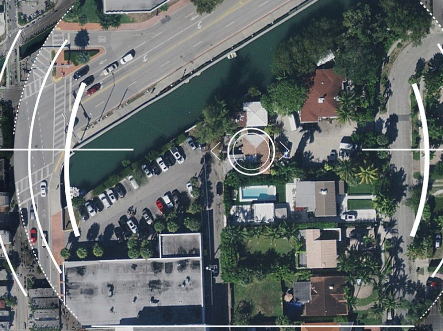
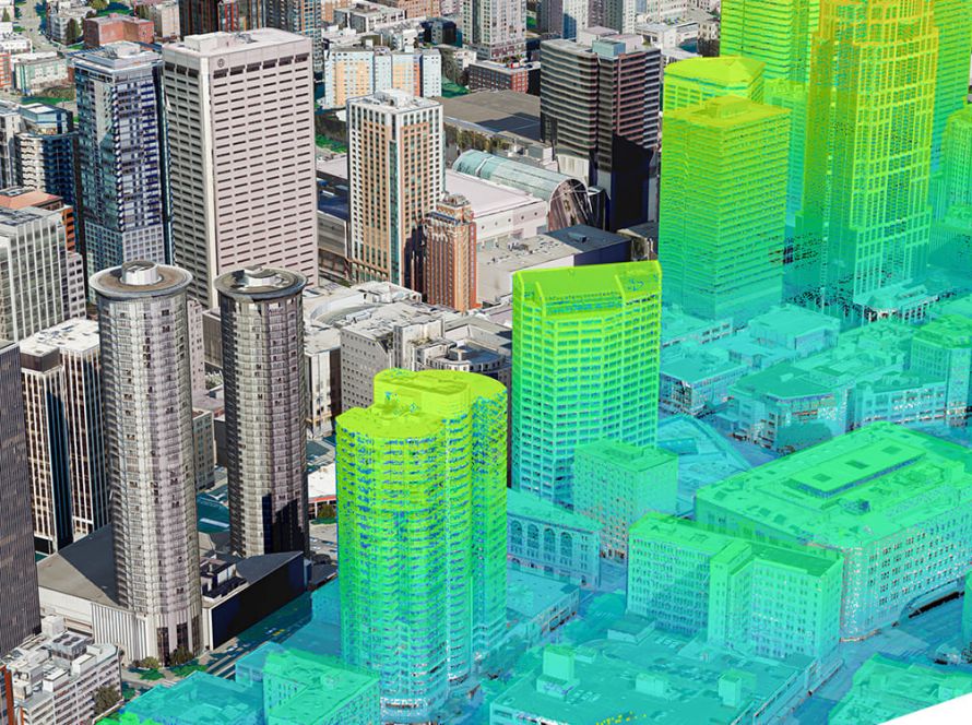
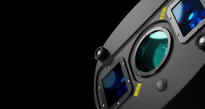
The circle scan pattern enhances 3D modelling of lower-density urban areas or steep terrains, while the ellipse scan pattern optimises data capture in dense urban areas. The skew ellipse scan pattern improves point density for infrastructure and corridor mapping applications.
High-accuracy Data
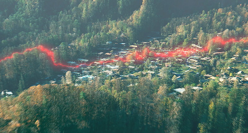
Reduced beam divergence improves planimetric accuracy, and the new MPIA handling ensures more consistent data, even in steep terrain. TerrainMapper-3 introduces capabilities for real-time full waveform recording, even at maximum pulse rate, and return pulse attribute output, opening new opportunities for advanced and automated point classification.
Improved Efficiency
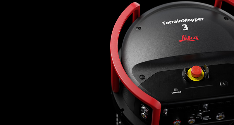
The new system puts an efficient, all-in-one solution in the hands of airborne data collection professionals. Higher scan speeds enable users to fly faster while collecting high-quality data. High-performance 2 MHz LiDAR featuring an expanded 60-degree adjustable field of view allows users to capture more data with fewer flight lines.