The LUCAS 2025 project is focused on creating an updated, harmonized, and high-quality dataset of land use and land cover across all EU Member States. This dataset will support evidence-based…
2024: Hellenic Military Geographical Service (HMGS): GSH, in collaboration with COSMOS , carries out the project “Digitization of the Chronological Archive of Aerial Photographs of the Hellenic Military Geographical Service…
2021: maintenance of the Leica DSW700 photogrammetric scanner at the Hellenic Military Geographical Service (HMGS) facilities. This service ensured the scanner’s optimal performance for high-precision aerial film digitization
2021: Austrian Archaeological Institute: 3D mapping of the wider area of the archeological site of Aigeira. More specifically, 3D imaging with LiDAR system and aerial photography and produced as final…
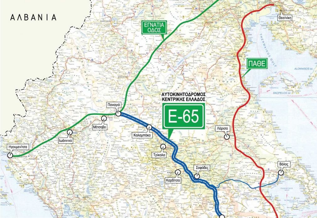
CENTRAL GREECE MOTORWAY CONSORTIUM Ε-65: Survey of topographic background using LiDAR system in parallel with aerial photography, for the needs of flood protection works of areas of the Central Greece…
2017-2018 : The company conducted LiDAR and 10 cm resolution RGB aerial mapping for road construction projects in the Republic of Moldova, in collaboration with Obermeyer. This initiative provided precise…
2015 : 10cm RGBNIR airborne Stereo Imagery Coverage and processes for the Integrated Information System for the Promotion of Cultural and Tourist Product of the Ionian Region, Islands using Information…
2014 : Geological Survey Department: InSAR Time Series with Atmospheric Estimation Model (InSAR TS + AEM), Pafos District, time series SAR images 1992-2012
2013 : The company supplied the Department of Lands and Surveys, Cyprus Ministry of Interior, with Hexagon Geospatial Photogrammetry Lab Software. This implementation enhanced the department’s capabilities in processing and…
2012 : The company supplied Interbalkan Environment Center (i-BEC), with ERDAS APOLLO software solution, providing WMS, WFS, and WPS services . This project enhanced i-BEC’s environmental data management and dissemination…
2011: Digital Terrain Model (DTM) country coverage for PROTERGIA , delivering high-resolution elevation data for various applications. Utilizing advanced technologies like satellite imagery, the project supports accurate topographic analysis…