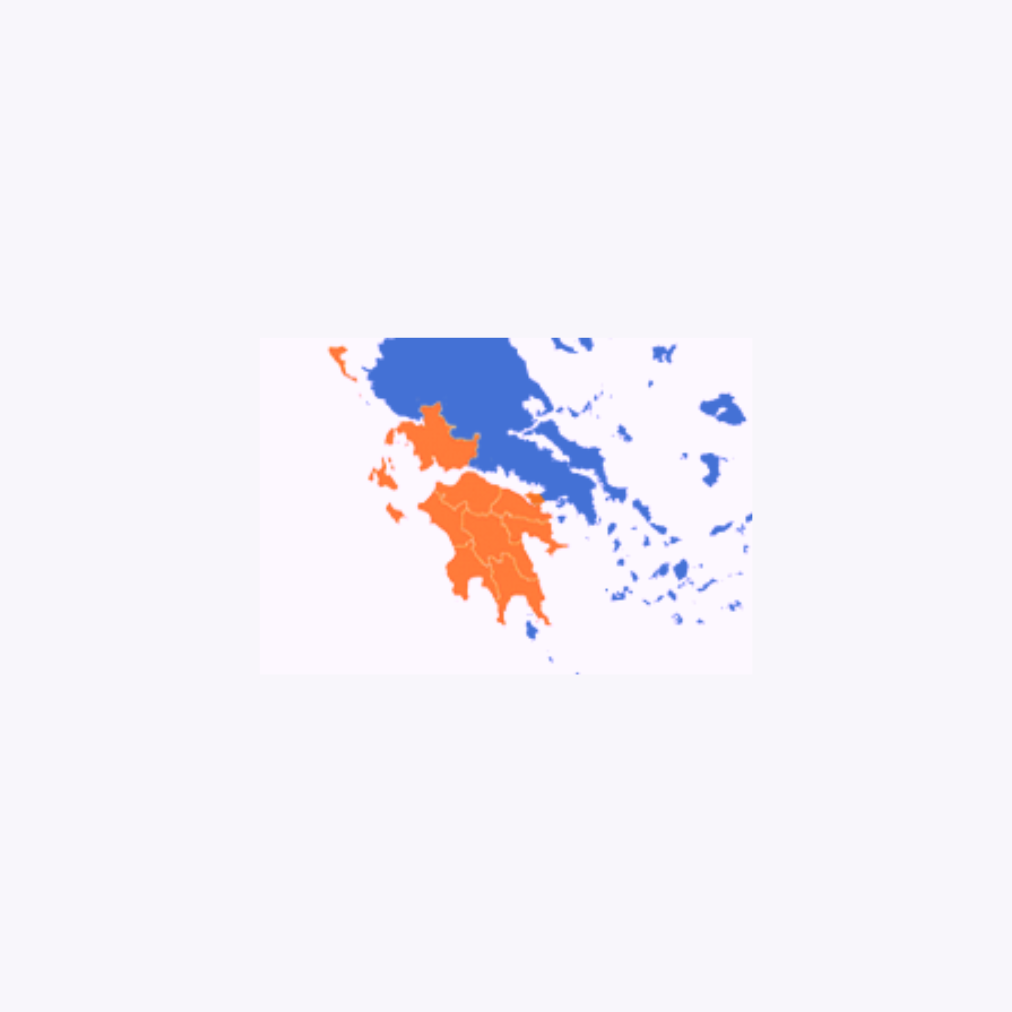
2015 : 10cm RGBNIR airborne Stereo Imagery Coverage and processes for the Integrated Information System for the Promotion of Cultural and Tourist Product of the Ionian Region, Islands using Information Technology and Communications, of the Operational Program/WEST GREECE-PELOPONNESE-IONIAN OF ISLANDS 2007-2013