ATCOR Workflow
ATCOR Workflow (ATCOR stands for ATmospheric CORrection) is a software add-on for ERDAS IMAGINE®, providing a superior dehaze algorithm and also an easy-to-use user interface.
ATCOR Workflow for IMAGINE replaces ATCOR for IMAGINE. ATCOR for IMAGINE is “freezed” with ERDAS IMAGINE 2018 and will not be ported to further versions.
Features:
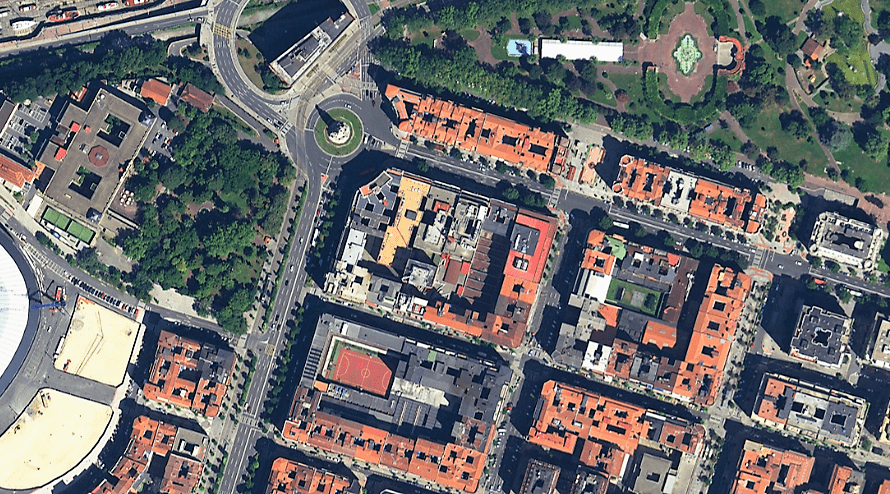
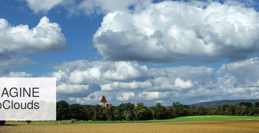
- Fog and sparse clouds removal from visual satellite data.
- Visual data with actual spectral value.
- Display real feature elements of the scene.
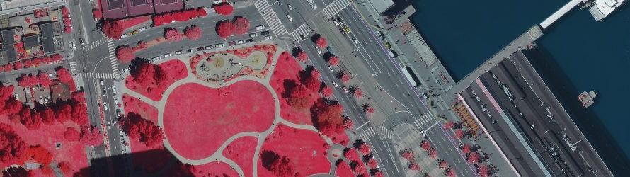
- Retrieval of surface reflectance, emissivity and temperature by atmospheric and topographic correction.
- Fully automatic algorithm for statistical haze and cirrus cloud removal.
- Fully integrated DEM preparation.
- BRDF correction in rugged terrain.
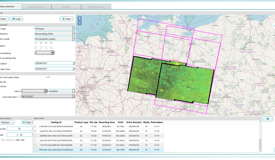
- More than 30 satellite sensors are supported, g. Sentinel-2, WorldView, SPOT, Pléiades, Landsat.
- Ability to use metadata in Spatial Model through Dictionary Operator