Geosystems Hellas Supports Greece’s National Microsatellite Program and the New Era of Satellite-Based Intelligence
Geosystems Hellas welcomes the latest milestone of Greece’s National Microsatellite Program, following the launch of two operational radar microsatellites that are now in orbit and provide Earth Observation data for defence and security applications.
This development strengthens Greece’s national space capabilities and creates new opportunities for the use of satellite data in civil protection, crisis management, environmental monitoring, urban resilience and public-sector decision-making.
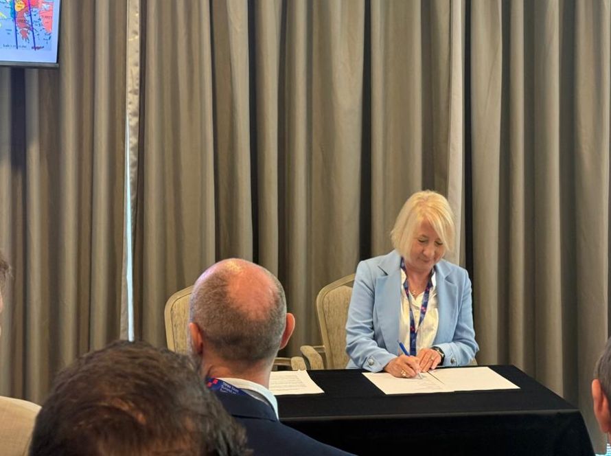
Geosystems Hellas is proud to participate in AXIS 3 of Greece’s National Microsatellite Program, contributing its expertise in Earth Observation, remote sensing, GIS, geospatial intelligence and GeoAI to the development of advanced geospatial services for the Greek public sector.
Through its role in the programme, Geosystems Hellas supports the transformation of satellite data into operational information, helping public authorities monitor risks, understand complex spatial changes and make better decisions.
This achievement is part of the National Microsatellite Program of the Ministry of Digital Governance and Artificial Intelligence, implemented through the General Secretariat of Telecommunications and Posts, with the support of the Hellenic Space Center, ESA and the Recovery and Resilience Facility.