The intense seismic activity observed in recent months, primarily between the islands of Santorini and Amorgos as well as in the wider region, has brought back into focus a range of challenges and risks facing the modern human-made and natural environment. The study of such geohazards constitutes a scientific and technological field of particular importance for Greece, due to its frequent seismic phenomena, dense anthropogenic environment, and the severe impacts of extreme weather events. Critical infrastructures such as the road network, dams, military installations, coastal constructions, and numerous small settlements located at the foothills or on slopes are just some of the areas highly exposed to geohazards such as landslides, soil erosion, and significant subsidence. Structural failures in key constructions are also increasingly observed as a result of intense natural events. These hazards can lead to major natural and economic disasters, especially when focusing on the island of Santorini and the broader Cyclades region, which experience increased tourist activity and population density at certain times.
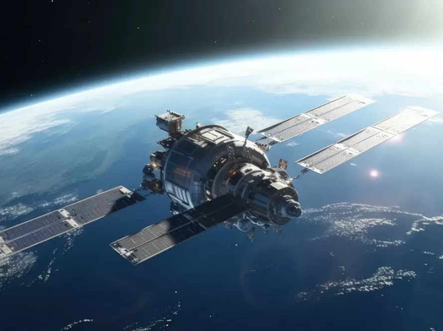
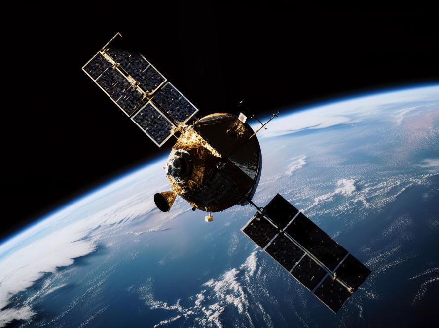
Today, geoinformatics and satellite remote sensing technologies are essential tools in the study, monitoring, and management of natural disasters such as earthquakes and landslides. Their use contributes significantly both to prevention—through data analysis and forecasting of hazardous phenomena—and to recovery, facilitating crisis management and damage assessment.
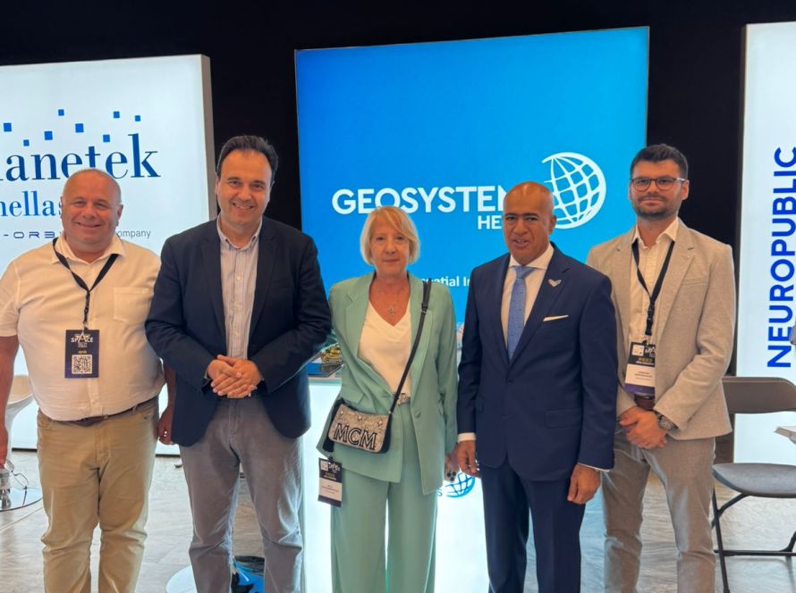
Our company – Geosystems Hellas, as a pioneering Greek company in the management and analysis of geospatial and satellite Earth observation data, offers a range of ready-made products and methodological approaches for the systematic monitoring of such natural phenomena and the country’s critical infrastructure:
- Automated satellite remote sensing workflows using SAR satellite data and applications of differential interferometry (InSAR, DInSAR) enable the detection of ground micro-movements, which may serve as warning signs for future landslides. These methods can also be used for the monitoring of seismic and geological phenomena, leading to the development of early warning systems that reduce human and infrastructure losses.
- GIS software and online services (WebGIS) for visualizing hazard maps that indicate areas with increased risk of earthquakes or landslides. In parallel, through specific solutions developed by our company, operational capabilities for modeling different risk scenarios are also offered, enhancing preparedness and preventive measures for authorities.
- Surveying and monitoring services of geological changes for 3D representation and rapid damage assessment using UAV (drone) flights and LiDAR data.

Additionally, we offer a holistic system for the observation, evaluation, and forecasting of ground geo-behavior and geohazard associated with the terrain and critical infrastructure, through our company’s certified portable trihedral reflector. The innovation of our solution lies in its integrated systems for temperature recording, accelerometer, GPS/GNSS antenna, and its special design compatible with the characteristics of European and modern SAR satellites. The system aims to improve the quality of SAR interferometric products for monitoring ground deformation, while the user also has access to an advanced online platform with 3D cartographic visualization functions for dynamic real-time deformation display.
Geoinformatics and Earth observation technologies are invaluable tools for the prevention and recovery of natural disasters. The ability to analyze and monitor geological and environmental parameters allows authorities and scientists to develop risk reduction strategies, prepare societies, and manage crises more effectively, ultimately saving lives and protecting infrastructure and citizens’ property.


