ΝeΑΙxt
The NeAIxt project aims to help Europe lead the development and industrialization of key Edge AI technologies by combining advanced…
THEIA
Addressing critical challenges such as population displacement due to conflicts, exacerbated by factors like climate change, extreme weather events, food…
Oceanids
Coastal regions are key areas for social and economic activity, but they are also highly vulnerable to the impacts of…
BorderForce
The EU has experienced a surge in fixed border surveillance solutions, including physical barriers, now covering 13% of its external…
Triquetra
The TRIQUETRA project aims at creating an evidence-based assessment platform that allows precise risk stratification,also creates a database of available…
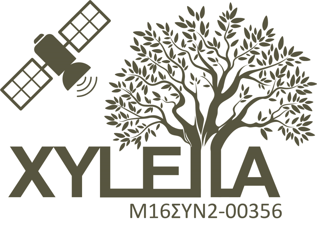
Xylella
The project aims to detect the pre-visual stages of infection of olive trees affected by the bacterium Xylella fastidiosa (Xf)…
Harmonia
Urban areas are currently facing significant new and/or aggravated existing challenges due to the impacts of climate change, including increased…
CompOlive
The CompOlive project aims at developing an integrated technological product – management system and application that includes software development, logistics…
Potato2up
The POTATO2UP project proposes an application aimed at improving the quality of potato production through more efficient nutrient absorption and…
eUMaP Project
In 2020, Europe faced a major economic and social crisis due to the outbreak of COVID-19.
More than 200 million…

D^2EPC
D^2EPC aims to set the grounds for the next generation of dynamic Energy Performance Certificates (EPCs) for buildings. The proposed…
Pearls
As an active key actor in the spatial planning and social innovation arena for Renewable Energy Landscapes (REL), PEARLS project…
PROION
The purpose of the PROION project is the development of a platform for the continuous monitoring of high-priority infrastructures (public…
Co-Protect
The CO-PROTECT project aims to strengthen Greece’s role in the field of natural disaster response and climate resilience.
At a…
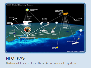
NFOFRAS
The National Forest Fires Risk Assessment System (NFOFRAS) is an ongoing collaborative research program for the development and continuous upgrading…
Acritas
ACRITAS aimed at the research, design, development and validation of space-based integrated applications for surveillance and monitoring through advanced multi-sensor…
SPACE 4.0
The SPACE project, as an outcome of the Greek Cooperative Formation of Space Technologies and Applications (Si-Cluster), focuses on earth…
Epipelagic
The EPIPELAGIC project is a Bilateral and Multilateral Cooperation project between Greece and China focused on monitoring coastal areas. The…
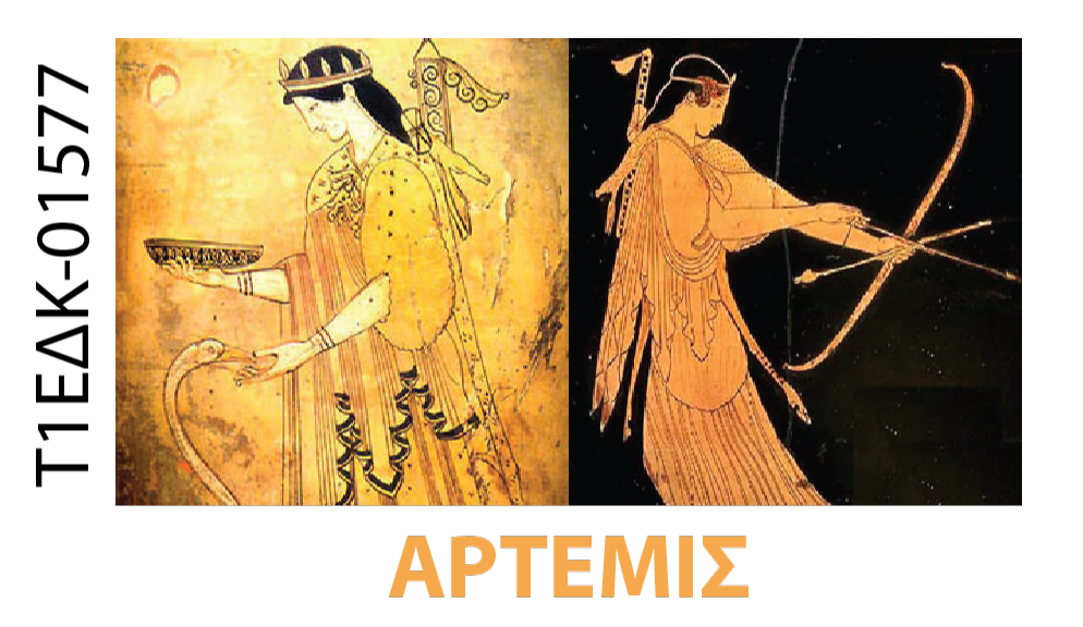
Artemis
The ARTEMIS project aims to create a multi-parameter online service for monitoring the quality, health and sustainable development of economic…
Supersite
The Greek Supersite aims to advance the understanding and monitoring of one of Europe’s most seismically active regions through long-term…
5DMuPLIS
The 5D Multi-Purpose LIS project aims to develop an advanced Land Information System (LIS) for modern urban environments.
Today, cities…
Indes Musa
This project aims to develop an integrated monitoring system for ground subsidence and seismic motion in urban areas.
The monitoring…
STABLE Project
The STABLE project developed an IT platform to monitor and forecast risks affecting Europe’s Cultural Heritage.
The project focused on…
Research
RESEARCH (REmote SEnsing techniques for ARCHaeology) will test new risk assessment methodology, by examining soil erosion, land movement, and land…
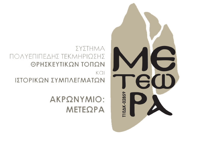
5dMeteora Project
The 5dMeteora project focuses on the documentation and digitization of part of the Archaeological Site of Meteora.
The main study…
Eye
The EYE project aims to develop a prototype service that uses space technology, artificial intelligence (AI), and machine learning to…
Eurmars
The EURMARS project aims to develop a multifunctional monitoring platform with the goal of enhancing and facilitating both the efficiency…