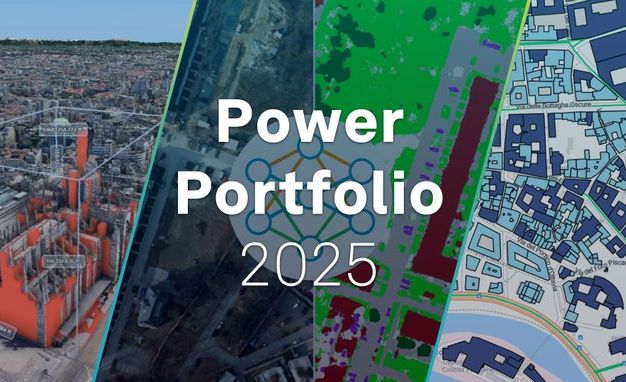
GEOSYSTEMS HELLAS S.A. is now a Diamond Authorized Reseller of Hexagon SIG in Greece & Cyprus
We are proud to announce that GEOSYSTEMS HELLAS S.A. has been appointed Diamond Authorized…
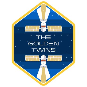
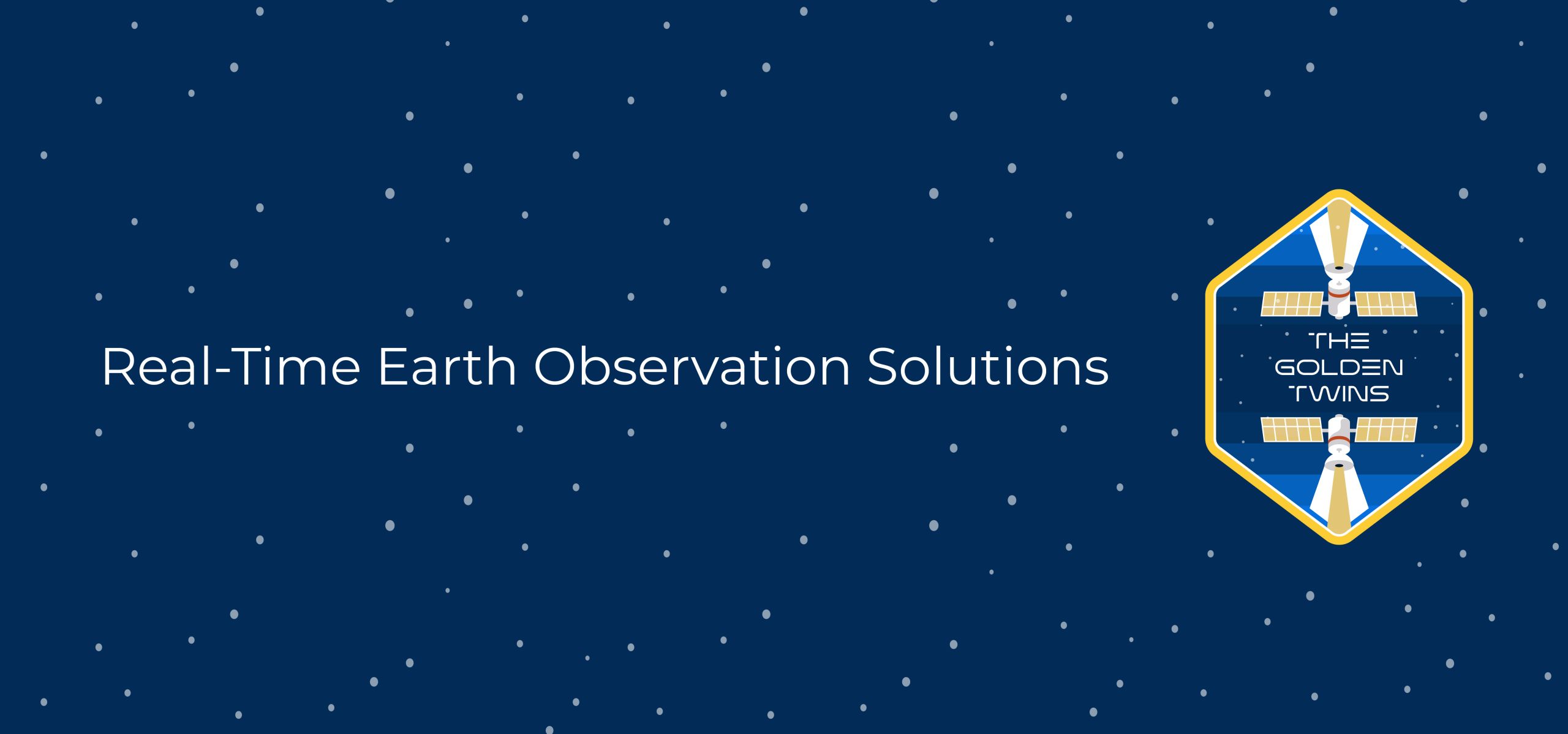
The “Golden Twins” project under ESA’s InCubed program, aims to establish a system-agnostic, multi-mission hosting Earth Observation (EO) platform addressing the unique challenges of Greece’s islands. Focused on forest fire…

The NeAIxt project aims to help Europe lead the development and industrialization of key Edge AI technologies by combining advanced microelectronics, embedded artificial intelligence, and security.
Addressing critical challenges such as population displacement due to conflicts, exacerbated by factors like climate change, extreme weather events, food shortages, and poverty, remains paramount.
Coastal regions are considered pivotal for socio-economic activities facing heightened vulnerability to Climate Change (CC). The imperative for CC adaptation in coastal zones is evident and is expected to be…
The EU has experienced a surge in fixed border surveillance solutions, including physical barriers, now covering 13% of its external land borders. The BorderForce project addresses evolving threats by enhancing…
The TRIQUETRA project aims at creating an evidence-based assessment platform that allows precise risk stratification, and also creates a database of available mitigation measures and strategies, acting as a Decision…
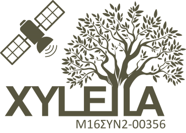
The project aims to detect the pre-visual stages of infection of olive trees affected by the bacterium Xylella fastidiosa (Xf) using satellite data and Remote Sensing technics. With the use…
The present project proposes an application aiming at the improved quality of potato production through more efficient absorption of nutrients, a pro-environmental management of important fungal pathogens ofthe crop by…
Urban areas are currently facing significant new and/or aggravated existing challenges due to the impacts of climate change, including increased frequency and intensity of extreme weather events, urban greenness loss,…