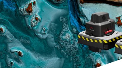
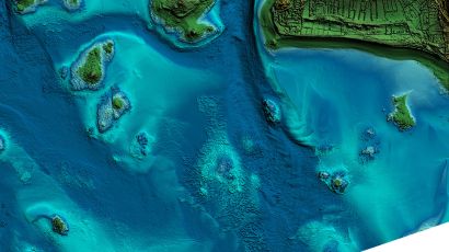
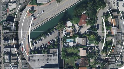
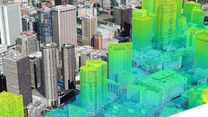
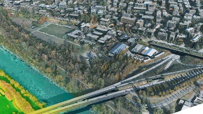
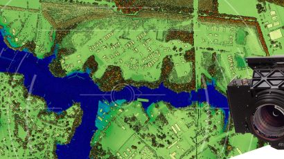
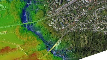
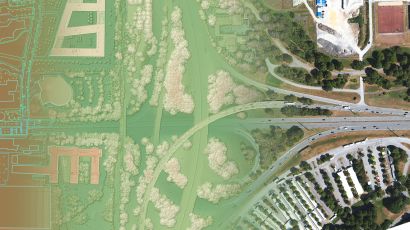
Hexagon Safety, Infrastructure & Geospatial provides powerful geospatial software solutions that enable users to fully exploit the potential of geographic information. Their technologies make it easy to create, manage, analyze and visualize geospatial data. By integrating previous analysis and visualization tools, Hexagon Safety, Infrastructure & Geospatial helps users transform complex discrete and descriptive data into dynamic information for fast decision making.