 |
 |
Smart Cities: A Smarter City must take location into account and geospatial technology uniquely suited to helping cities become Smarter Cities.
Smart Cities fuse geographic sensor data with business information, transforming domain knowledge and customer workflows into an intelligent information ecosystem, enabling cities to quickly sense, decide, and act as the city grows.
Infrastructure Management
Managing the constantly growing and changing infrastructure of a city calls for a spatial information management system.
Data Driven Urban Planning
Transform complex data into business intelligence to improve productivity and assist in planning for sustainable growth.
Applied Citizen Engagement
Empower citizens to play an active role within the community and collaborate with policy makers on urban issues.
Smart Cities are faced with a myriad of analytical and transparency challenges. Among them are management and scheduling of lighting, transportation systems, economic development, environmental impact, and overall operational performance. Hexagon Smart M.Apps provide simple and powerful location-based business intelligence apps for non-GIS professionals to help improve awareness, productivity and efficiency of city services, keep citizens informed and safe, and monitor environmental impacts.
This 3-day course is carried out by our company’s experts E.Maltezos and K.Apostolopoulos, covering the following subjects:
Monday 23/4/2018:
- Smart Cities:European paradigms and prospects – Implementations in Greece
- Hexagon Incident Analyzer Suite presentation
Tuesday 24/4/2018:
- Smart Applications implementation proposals
- Suggestion of financial resources
Wednesday/4/2018:
- 3D visualization and change detection aplications
- Change detection aplications
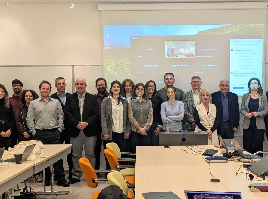
Some photos of the course:


