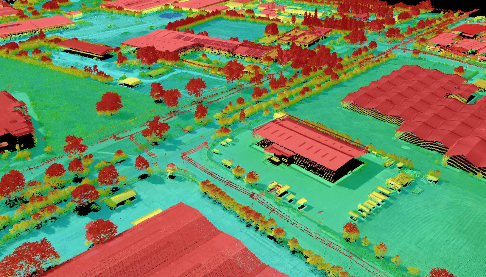
A Geographic Information System (GIS) is a technological framework designed to collect, manage, store, analyze, and visualize spatial and geographic data related to positions on the Earth’s surface. Hexagon’s complete Geomedia GIS package is a flexible solution for managing and analyzing valuable geospatial datatypes and databases and creating powerful mapping products.