ATCOR Workflow
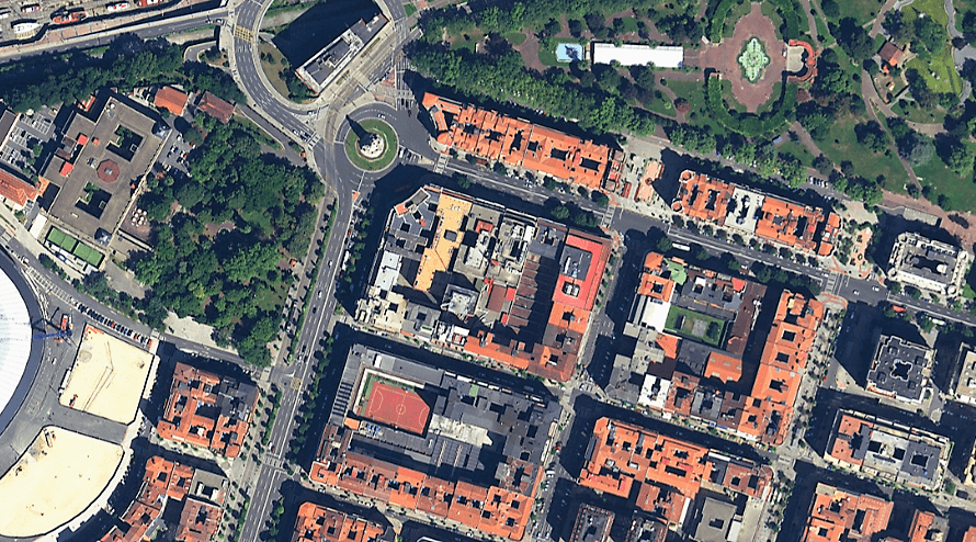
ATCOR Workflow (ATCOR stands for ATmospheric CORrection) is a software add-on for ERDAS IMAGINE®, providing a superior dehaze algorithm and also an easy-to-use user interface. More info here.
IMAGINE DSM Extractor
IMAGINE DSM Extractor incorporates sparse and dense terrain extraction engines to fit your processing time and accuracy needs, offering improved surface model accuracy and reliability by leveraging an arsenal of elevation modelling tools.
IMAGINE Terrain Editor
An extensive toolset to edit your terrain data draped directly over a stereo image pair.
IMAGINE Photogrammetry (formerly LPS)
Photogrammetry is the science of obtaining reliable information about physical objects by using photographic techniques to record, measure, and interpret images and patterns of light. Hexagon offers cutting-edge solutions with IMAGINE Photogrammetry and ImageStation, providing advanced tools for precise triangulation, terrain generation, ortho-mosaic creation, stereo visualization, 3D feature extraction and a extend variety of photogrammetric and geospatial data analysis.
IMAGINE Expansion Pack
Advanced tools for realistic 3D, NITF support, radar DEM extraction, stereo feature collection, wizard-based change detection, and automated image to image registration.
IMAGINE Defense Productivity Module
The DPM extends the power of ERDAS IMAGINE® and IMAGINE Photogrammetry to legacy and emerging National Technical Means (NTM) and tactical imagery sources, supports enterprise solutions for imagery and geospatial analysis, and offers enhanced workflows for the defense community.
IMAGINE Objective
IMAGINE Objective provides intuitive, object based multi-scale image classification and feature extraction capabilities to reliably build and maintain accurate geospatial content. With IMAGINE Objective, imagery and geospatial data of all kinds can be analyzed to produce GIS-ready mapping.
IMAGINE SAR Feature extraction
IMAGINE SAR offers automated processing of synthetic aperture radar (SAR) imagery -including noise reduction, target detection, color-coding changes, feature extraction with the option of utilising deep learning- to ultimately create an information product.
IMAGINE SAR Interferometry
IMAGINE SAR Interferometry is a single, cost-effective module which fully integrates ERDAS IMAGINE’s advanced radar interferometric capabilities including coherence change detection, time series change analysis, displacement mapping at the centimetre level and DEM extraction.
ERDAS Engine
ERDAS Engine compliments ERDAS IMAGINE and IMAGINE Photogrammetry by enabling them to distribute demanding, resource-intensive processes among multiple workstations or multiple cores on a single workstation, so that multiple processes can run simultaneously, allowing faster completion of the work.
Spatial Modeler SDK
A C++ toolkit for building, modifying, and running workflows on geospatial data. Provided with Hexagon Geospatial Developer Network subscription.


