Leica Geosystems Sensors
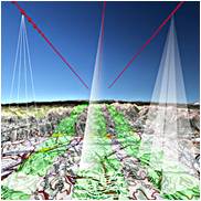
Leica MissionPro software offers «state of the art true 3D mission planning» solutions.
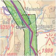
Leica FPES software offers advanced διαθέτει ανεπτυγμένη functionality for flight plans of RC30, ADS40, ADS80, και LIDAR ALS50, ALS60, ALS70 sensors but …
Leica IPAS Freebird software contribute to flight economy and facilitate GNSS-IMU operations.
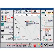
Leica FCMS & Sensor Control Management System software performs a series of functions such as planning, guidance and flight monitoring for a …
The fastest post-flight processing software.
ORIMA Orientation Management της Leica Geosystems software is a modern software for orientations aerial triangulations. It’s fully compatible with IMAGINE photogrammetry and …


