Leica RCD30
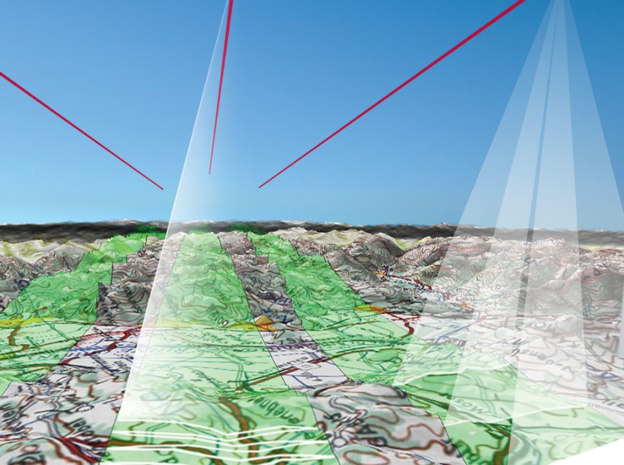
Leica RCD30 is a medium-format aerial sensor designed for digital multispectral photogrammetry, aerial mapping and professional geospatial data acquisition.
The sensor combines advanced imaging technology with operational flexibility, delivering results that can support demanding photogrammetry and mapping workflows. It offers an efficient solution for organisations that need accurate aerial imagery without relying on larger airborne sensor systems.
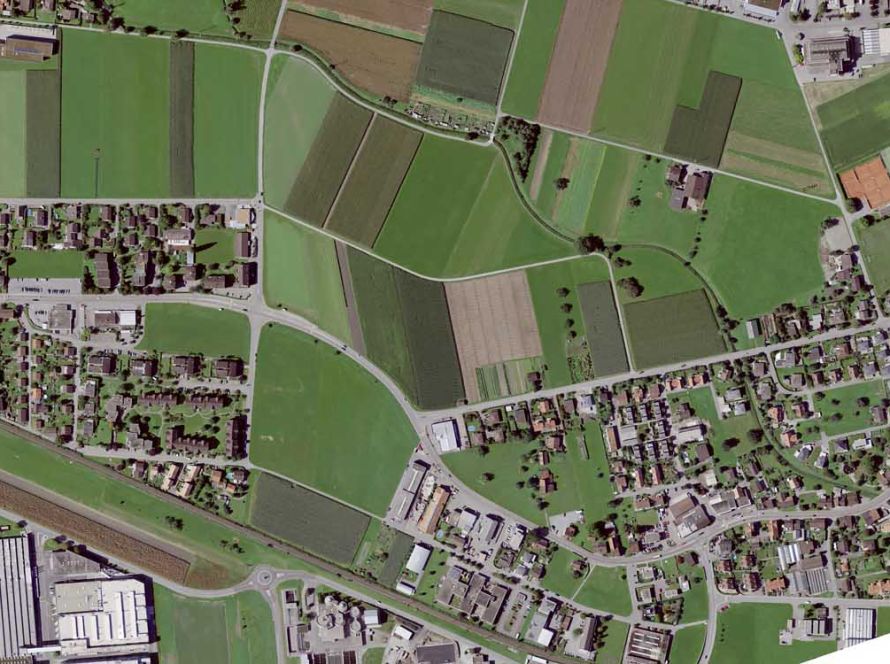
Leica RCD30 is suitable for aerial surveying, orthophoto production, land mapping, environmental monitoring, infrastructure mapping, 3D mapping and remote sensing applications.
As part of Leica Geosystems airborne solutions, it supports professional image acquisition workflows where image quality, reliability and cost efficiency are important.