Leica CityMapper-2 High-Performance Urban Mapping Sensor
Leica CityMapper-2 is a hybrid oblique imaging and LiDAR sensor for fast and efficient city digitisation.
It is designed for airborne urban mapping and supports the creation of accurate 3D city data. This makes it ideal for metropolitan areas that need frequent updates of geospatial base layers.
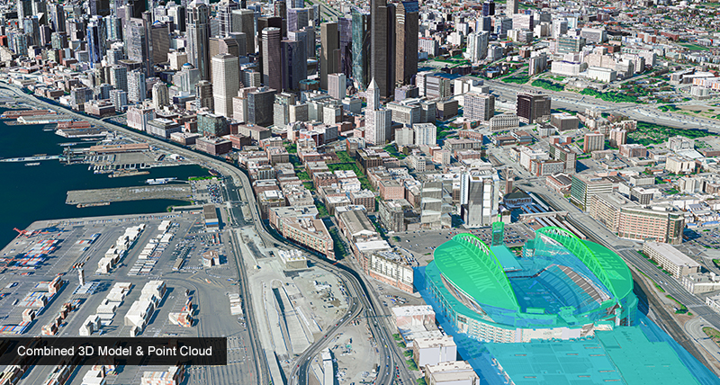
Urban environments change quickly. As a result, cities need more efficient mapping solutions. Leica CityMapper-2 supports this need by combining oblique imaging, nadir imaging and LiDAR data collection in one airborne sensor.
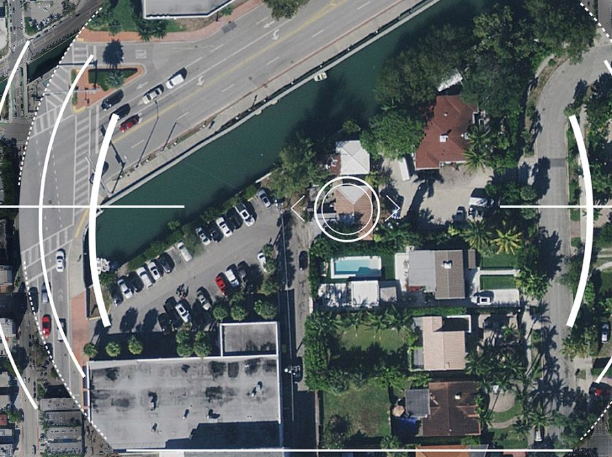
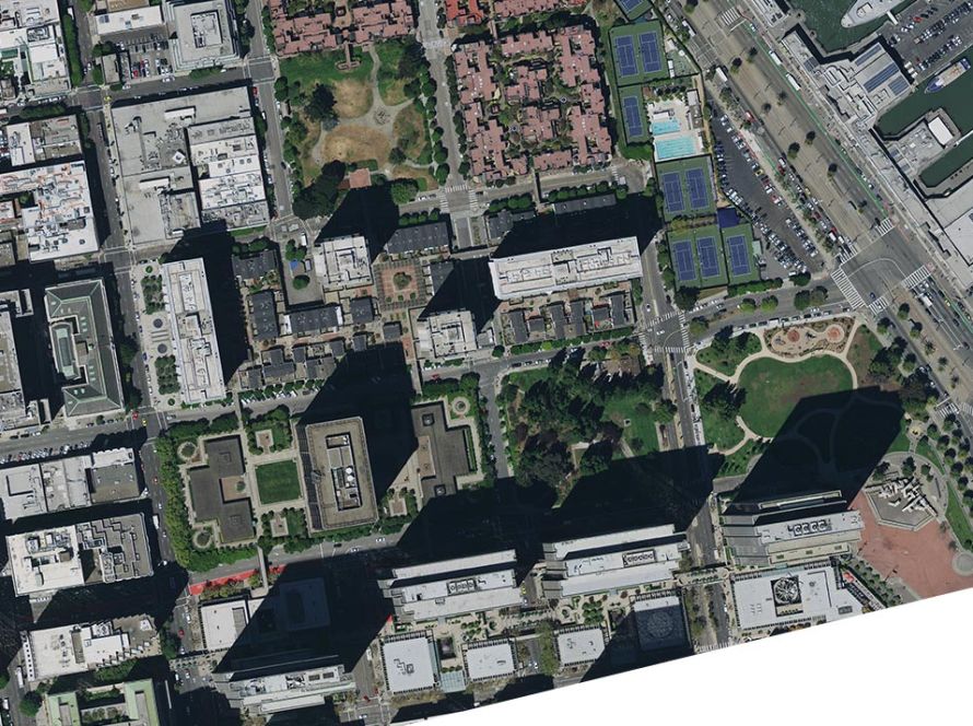
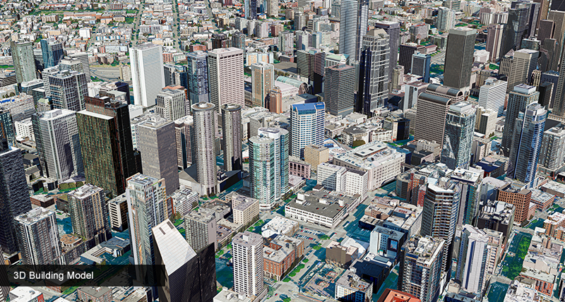
The system captures two nadir images in RGB and NIR, as well as four oblique 150 MP RGB images every 0.9 seconds. This allows users to visualise streets, buildings and urban details with high resolution.
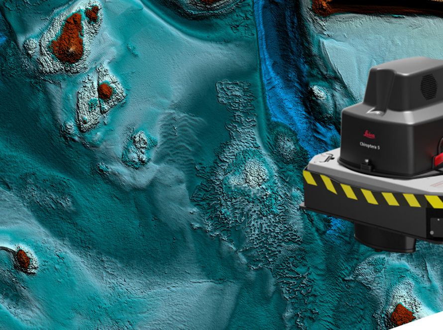
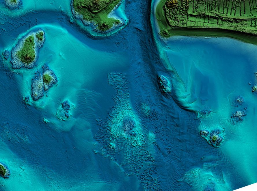
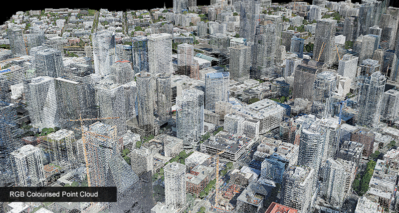
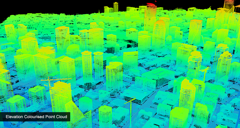
Leica CityMapper-2 also includes a new-generation 2 MHz LiDAR sensor. This supports accurate point cloud generation and improves the production of 3D urban mapping products.

Performance Booster
Allowing users to collect at higher flying heights and speeds while still delivering the same GSD and positional accuracy, this system provides unmatched efficiency for urban mapping applications. CityMapper-2 is designed to create digital twins of cities in the shortest time, with the lowest operating expense.Outstanding Accuracy
The newly developed Leica MFC150 cameras with customised low-distortion lenses can deliver pixel sizes as small as 2 cm at high flying speeds thanks to mechanical forward-motion-compensation (FMC). The 2 MHz linear-mode LiDAR sensor delivers 3 cm range accuracy and is optimised for data collection in urban environments.Operational Flexibility
The system is available in three configurations for low, standard and high-altitude flights to meet customers’ needs and to adapt to local weather and flight regulations. The CityMapper-2 is a compact package with embedded system controller and storage, which makes it easy to install in any survey aircraft.Highest Data Throughput
The Leica HxMap high-performance workflow was upgraded to meet the demands of CityMapper-2 data processing. Edge computing creates fully calibrated high quality image data for rapid QC and emergency response applications. On the LiDAR side, discrete returns are extracted from the full waveform for the fastest processing speeds.
Downloads
Case studies
Videos & Webinars
INTERGEO TV: Leica CityMapper-2 from Hexagon
Hear John Welter, President of Geospatial Content Solutions at Hexagon, talk about the key benefits of the Leica CityMapper-2.
Explained: Leica Geosystems’ unique mechanical Forward-Motion-Compensation (FMC) for airborne sensors
The unique mechanical forward-motion-compensation (FMC) technology inside Leica Geosystems’ airborne imaging sensors maximises data capture performance and provides the highest image quality in a wide range of operating conditions.