Leica ADS100 Airborne Digital Sensor
Leica ADS100 SH100 and SH120 Airborne Digital Sensor
Readability-friendly text
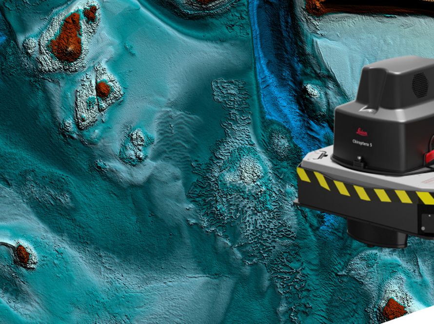
Leica ADS100 SH100 and SH120 are airborne digital sensors designed for high-quality aerial imaging and efficient data acquisition.
The Leica ADS100 product family supports modern airborne mapping workflows. It offers improved image quality, enhanced accuracy, faster data collection and reduced flight time.
The SH120 version includes a 120 mm focal length. This increases ground resolution and makes it suitable for urban mapping and high-altitude data collection.
Enhanced Image Quality
Leica ADS100 supports full multispectral image capture in RGBN.
It provides a full colour swath width of 20,000 pixels, helping users collect more data in less time. The system also supports selectable TDI stages. This improves sensitivity and expands the operational range of the sensor.
RGBN data is captured in forward, nadir and backward views. This allows more flexible stereo interpretation and supports accurate photogrammetry workflows.
Reduced Flight Time
Leica ADS100 helps reduce flight time through improved acquisition performance.
The system can capture smaller GSDs at faster speeds. The SH120 version also increases ground resolution, making it ideal for high-altitude mapping and detailed urban data collection.
Fast Processing Workflow
Leica ADS100 includes embedded NovAtel SPAN GNSS/IMU technology. This supports tightly coupled processing and helps improve operational efficiency.
The sensor also works within an end-to-end Leica workflow. Users can plan missions with Leica MissionPro and generate orthophotos and point clouds with Leica XPro.
Common Sensor Platform
The Leica ADS100 product family supports a unified aircraft installation.
Aircraft components such as the Leica PAV100, CC33 camera controller, operator display and pilot display can be shared with other Leica Geosystems airborne sensors.
This helps reduce cost of ownership. It also simplifies aircraft operations and sensor management.
Key Benefits
- High-quality airborne image acquisition
- Full multispectral RGBN data capture
- 20,000-pixel swath width
- Reduced flight time
- Higher ground resolution with SH120
- Suitable for urban and high-altitude mapping
- End-to-end workflow with Leica MissionPro and Leica XPro
- Shared platform with other Leica airborne sensors
Applications
Leica ADS100 SH100 and SH120 can support:
- Airborne imaging
- Urban mapping
- High-altitude data collection
- Orthophoto production
- Point cloud generation
- Photogrammetry workflows
- Large-area geospatial mapping
- Remote sensing applications