Skip to content Skip to footer

Leica DMC-4 Airborne Imaging Sensor

Leica DMC-4 Airborne Imaging Sensor

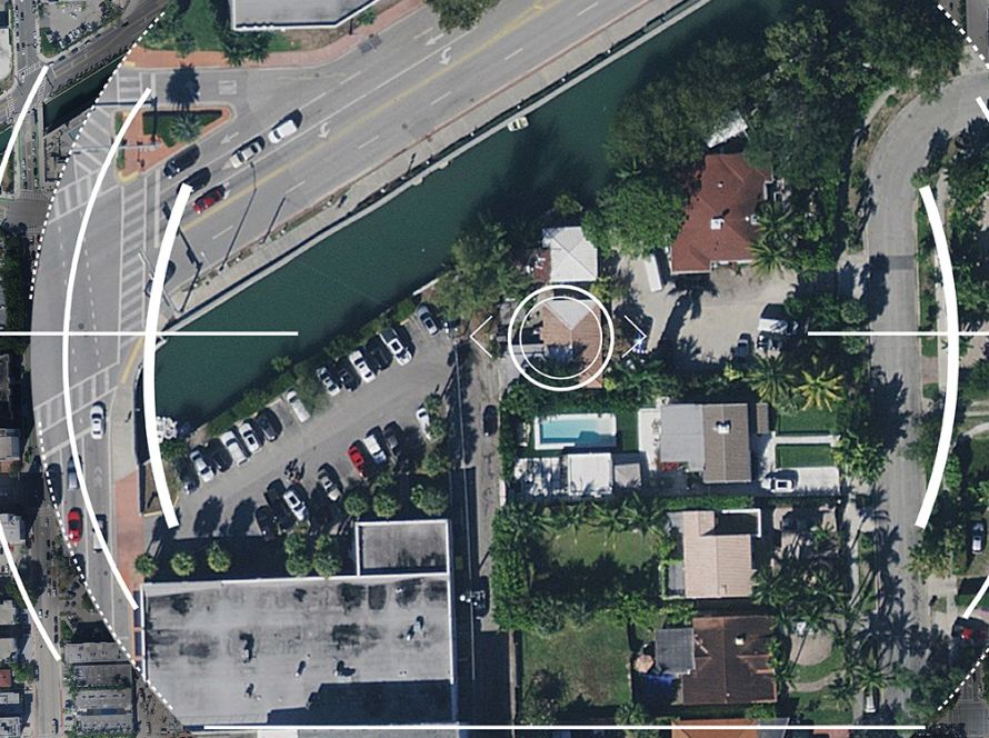
Leica DMC-4 is an airborne imaging sensor for high-quality aerial data collection.

It is designed for versatile mapping applications and complex survey environments. The sensor delivers high image fidelity and supports professional photogrammetry and remote sensing workflows.

With more than 31,500 pixels across swath, Leica DMC-4 helps improve acquisition efficiency. It also increases imaging performance by 20% compared to previous systems.

The sensor uses the Leica MFC150 CMOS-based camera module. It also includes mechanical forward-motion compensation. This helps reduce image blur and supports detailed image capture during flight.

Leica DMC-4 is suitable for organisations that need reliable aerial imagery, accurate mapping outputs and efficient airborne data acquisition.

Key Benefits

  • High-quality airborne image acquisition
  • More than 31,500 pixels across swath
  • Improved imaging performance
  • Mechanical forward-motion compensation
  • Suitable for complex mapping environments
  • Supports photogrammetry and remote sensing
  • Efficient aerial data collection

Applications

Leica DMC-4 can support:

  • Aerial mapping
  • Photogrammetry
  • Remote sensing
  • Orthophoto production
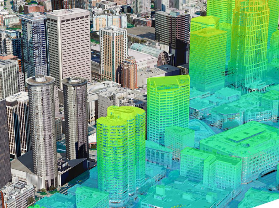
  • Urban mapping
  • Infrastructure mapping
  • Environmental monitoring
  • Geospatial data production

Integrated system

The system fully integrates with powerful Leica HxMap end-to-end processing workflow, supporting customers from mission planning and execution to product generation. Installed in the new Leica PAV200 compact sensor mount, the sensor provides highest sensor stabilisation and data collection efficiency.
Superior image quality

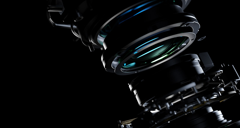
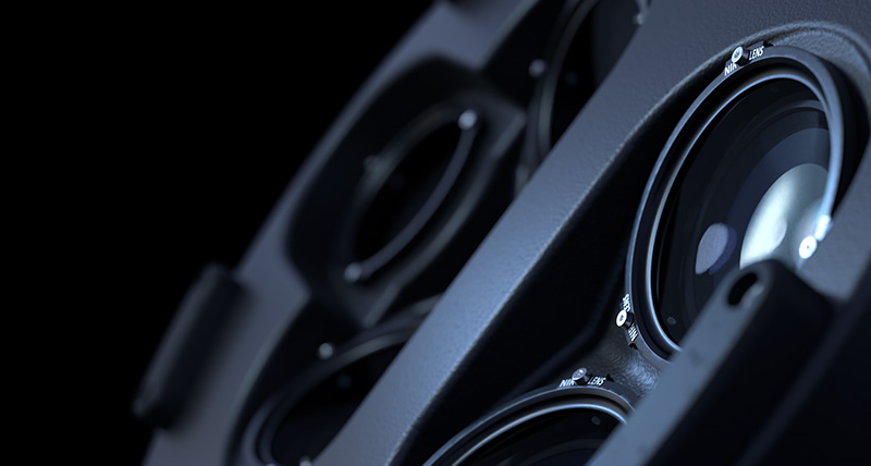
The DMC-4 features the modular MFC150 optical system and proven CMOS technology to deliver the highest accuracy at faster aircraft speeds. Stable, environment-tested lenses and unique forward-motion-compensation (FMC) deliver crisp, full radiometry in a wide range of operating conditions.
Application versatility

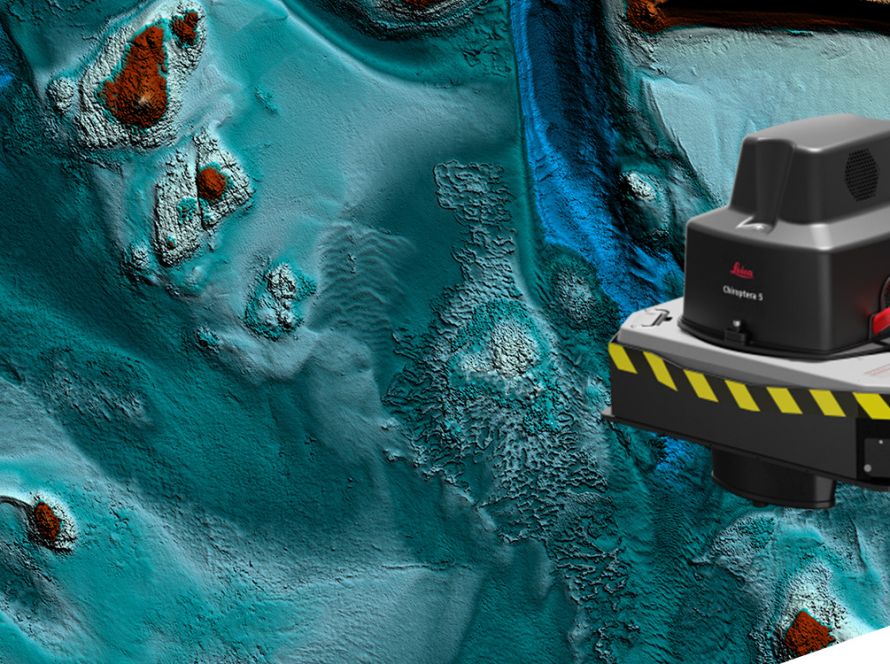
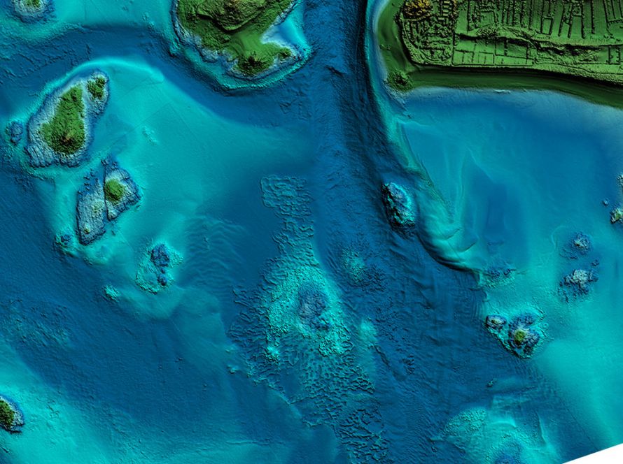
The sensor provides the frame geometry needed to support a wide range of applications such as photogrammetry, remote sensing, terrain extraction and vector mapping. Standard (S) and high (H) focal length configurations enable maximum flying height flexibility in restricted access airspaces.
Skip to content