Leica SPL100 Single Photon LiDAR Sensor
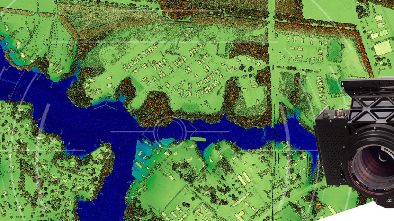
Leica SPL100 is a single photon LiDAR airborne sensor for large-area terrain mapping projects.
It captures LiDAR data over large areas at a low…
Leica CountryMapper Hybrid Airborne Sensor
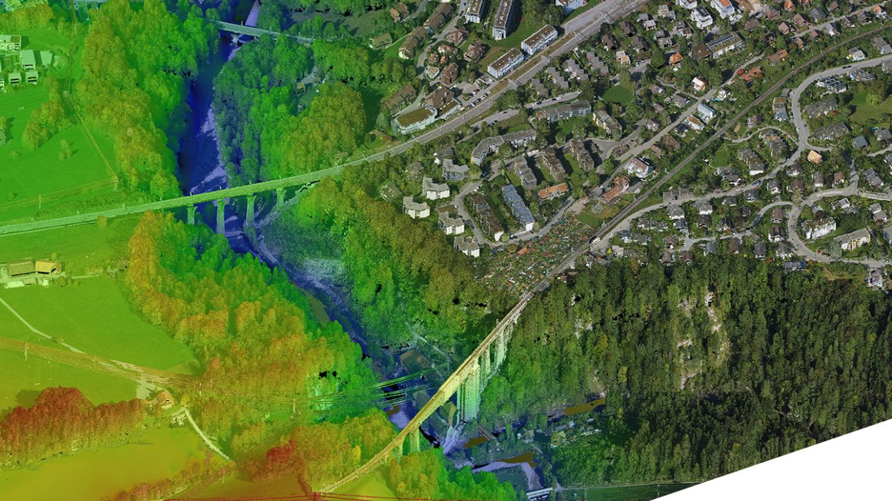
Leica CountryMapper is a hybrid airborne sensor for large-area mapping.
It combines a large-format photogrammetric camera with a high-performance LiDAR unit in one system. This…
Leica DMC-4 Airborne Imaging Sensor
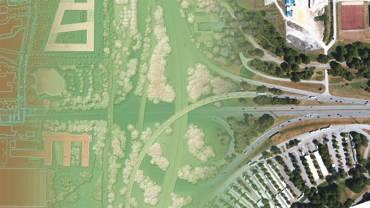
Leica DMC-4 is an airborne imaging sensor for high-quality aerial data collection.
It is designed for versatile mapping applications and complex survey environments. The sensor…
Geosystems Hellas Celebrates 15 Years of hard work and innovative thinking
Geosystems Hellas, a leading company in geospatial intelligence, celebrated its 15th business anniversary, with a joyous corporate party that brought…
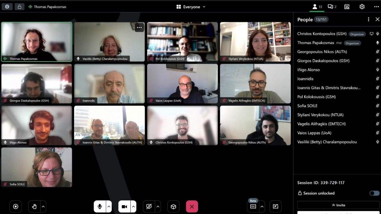
On Friday, September 20, the Golden Twins project officially kicked off through a virtual meeting. During this meeting, Geosystems Hellas (GSH) as Coordinator and sub-contractors Aristotle University of Thessaloniki (AUTH),…
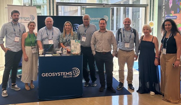
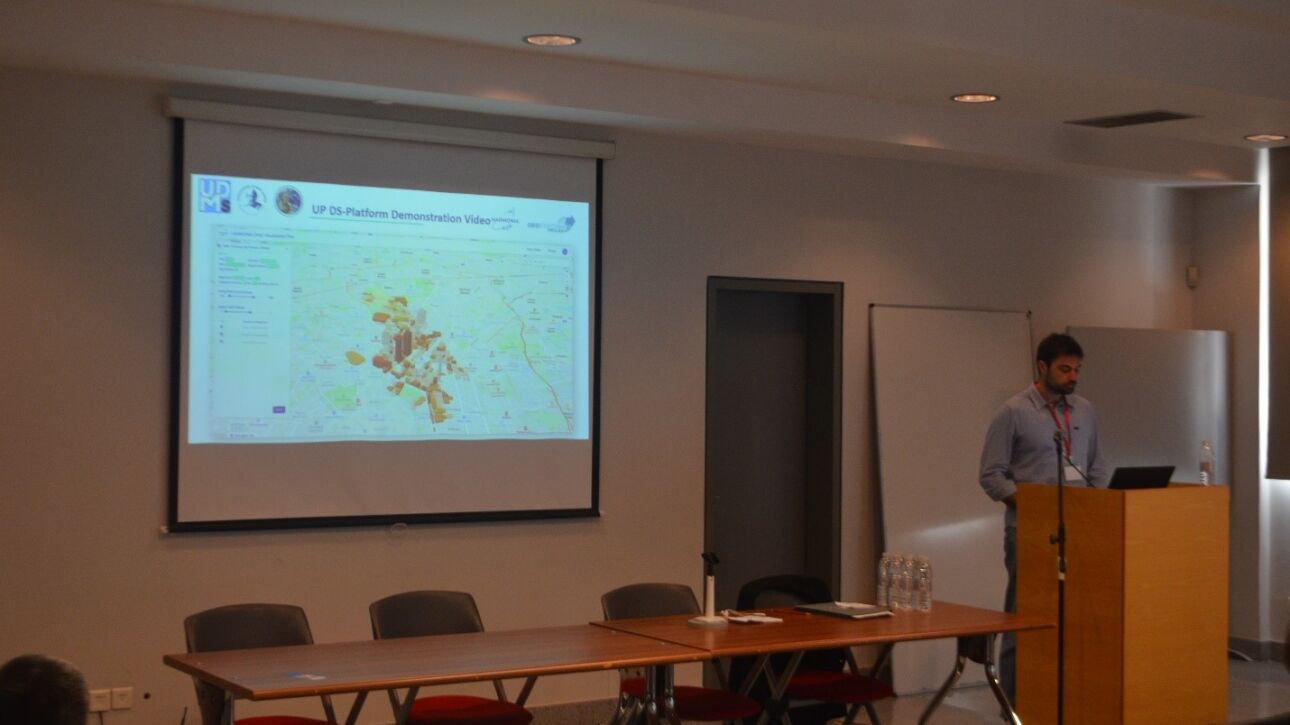
The event provided a valuable opportunity for Geosystems Hellas to connect with numerous professionals in the field of geoscience and remote sensing. GSH engaged in productive discussions about its innovative…
GEOSYSTEMS HELLAS S.A. (GSH), a Greek SME founded in 2009, is a top-tier provider of advanced geospatial software solutions, geoinformatics and data analysis. Activities focus on Earth observation services, downstream space,…