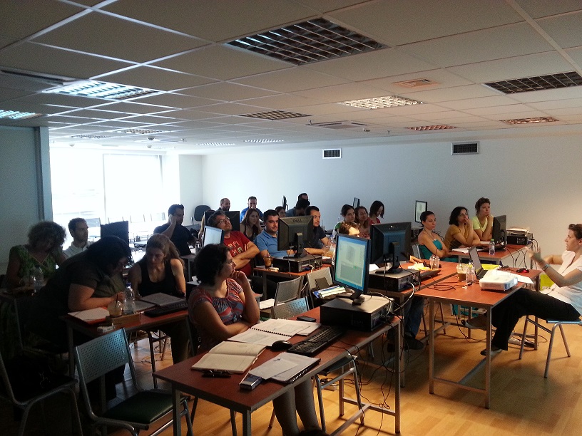
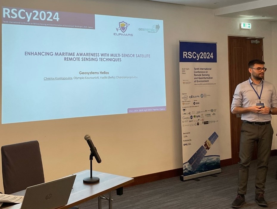
GeoSystems Hellas S.A. had the pleasure to contribute, both as a sponsor and as a participant, in the 2024 CIPA Summer School, held in Rhodes, Greece, from May 19th to…
ERDAS IMAGINE
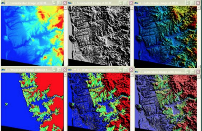
ERDAS IMAGINE is offered within the Producer Suite of HEXAGON GEOSPATIAL. It empowers the user to collect, process and analyze raw geospatial data and ultimately deliver usable information.…
ATCOR Workflow
ATCOR Workflow is an add-on for ERDAS IMAGINE. It supports atmospheric correction and helps users improve the quality of optical satellite data.
The name ATCOR stands for Atmospheric…
IMAGINE NoClouds software is an add-on module for ERDAS IMAGINE that offers processes to deal with clouds in Sentinel-2 satellite images. This product automatically generates high-precision cloud masks. Combined with…
Sentinel Made Simple
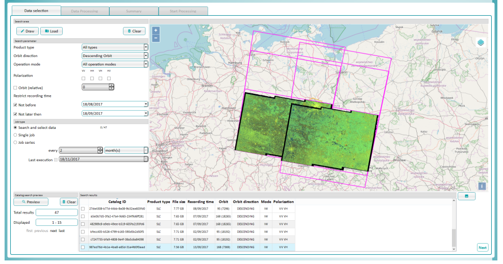
Sentinel Made Simple is a stand-alone tool for the downloading and processing of Sentinel-1 and Sentinel-2 data. Features: Custom user data downloads. Fully automated data search, download…
ATCOR Workflow
ATCOR Workflow (ATCOR stands for ATmospheric CORrection) is a software add-on for ERDAS IMAGINE®, providing a superior dehaze algorithm and also an easy-to-use user interface. More info here.
IMAGINE DSM…
ER Mapper
ERDAS ER Mapper professional software is used worldwide in the oil, gas, and mineral exploration industries for satellite and aerial image exploitation. Working from raw data, immediately applying…