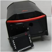
Leica DSW700V Digital Scanning Workstations The World’s Fastest Precision Aerial Film Scanner General Description The Leica DSW700V Digital Scanning Workstation is a …
Leica MissionPro software offers «state of the art true 3D mission planning» solutions.
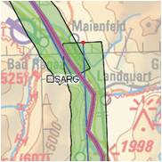
Leica FPES software offers advanced διαθέτει ανεπτυγμένη functionality for flight plans of RC30, ADS40, ADS80, και LIDAR ALS50, ALS60, ALS70 sensors but …
Leica IPAS Freebird software contribute to flight economy and facilitate GNSS-IMU operations.
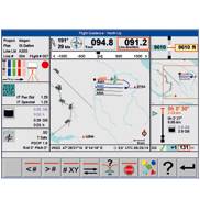
Leica FCMS & Sensor Control Management System software performs a series of functions such as planning, guidance and flight monitoring for a …
The fastest post-flight processing software.
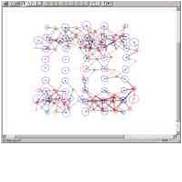
ORIMA Orientation Management της Leica Geosystems software is a modern software for orientations aerial triangulations. It’s fully compatible with IMAGINE photogrammetry and …
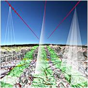
For corridor surface coverage, the Leica ALS Corridor Mapper can ideally cover low-rise & road applications.
Leica ALS60 Airborne Laser Scanner is a solution offering for precise DEM production , a worthy successor to the Leica ALS60 that …
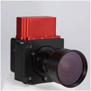
The camera incorporates great features for professionals who need high-quality results, instantly, easily and with great flexibility.
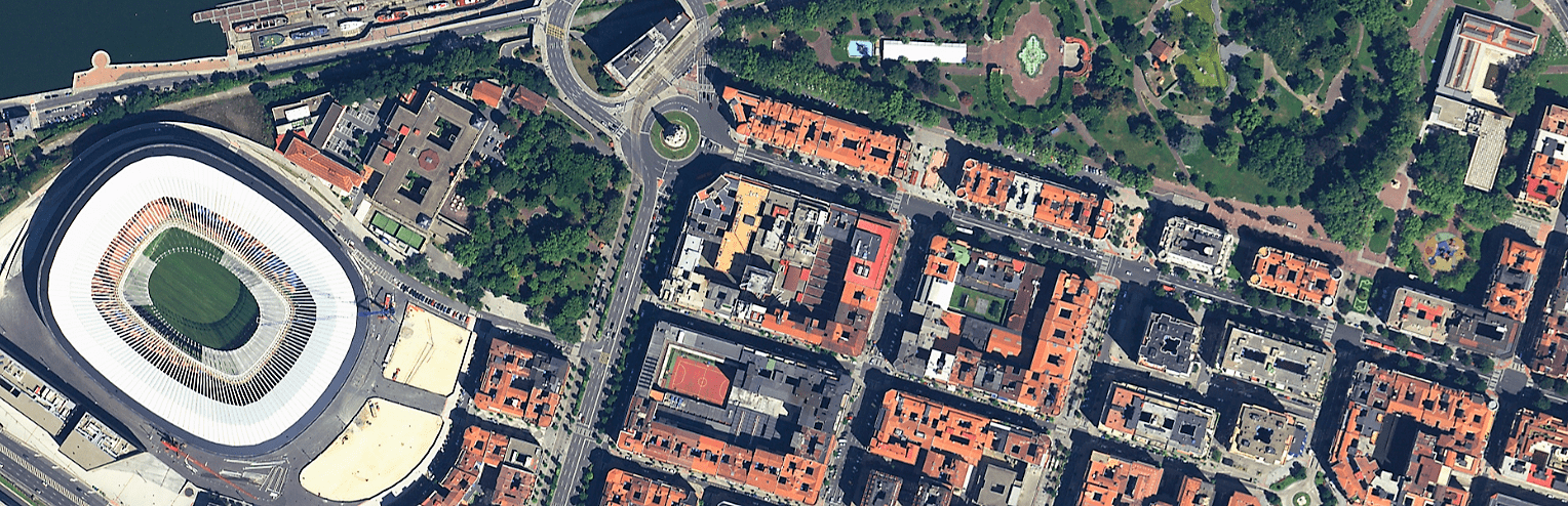
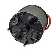
Leica ADS80 (Push broom -along track scanner) sensor: this is the most complete and technologically superior solution. The sensor incorporates third-generation technology …
Leica RC series comes first in the preferences of professionals worldwide with hundreds of satisfied customers. Sensors in this series are characterized …
Leica RCD30 Oblique sensor is designed for high-precision urban coverage and for 3D roads, coastline etc coverage. Based on Leica RCD30 technology, …
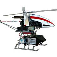
The need for professional UAV-based precision map production is growing worldwide. For us and our associates, the solution of mapping using an …
Leica RCD30 series belongs to the category of medium-sized aerial sensors. The revolutionary technology it incorporates gives us results that can be …
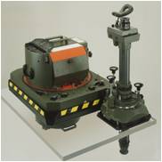
An economic LIDAR system capable of meeting your present and future needs as it is fully upgraded.