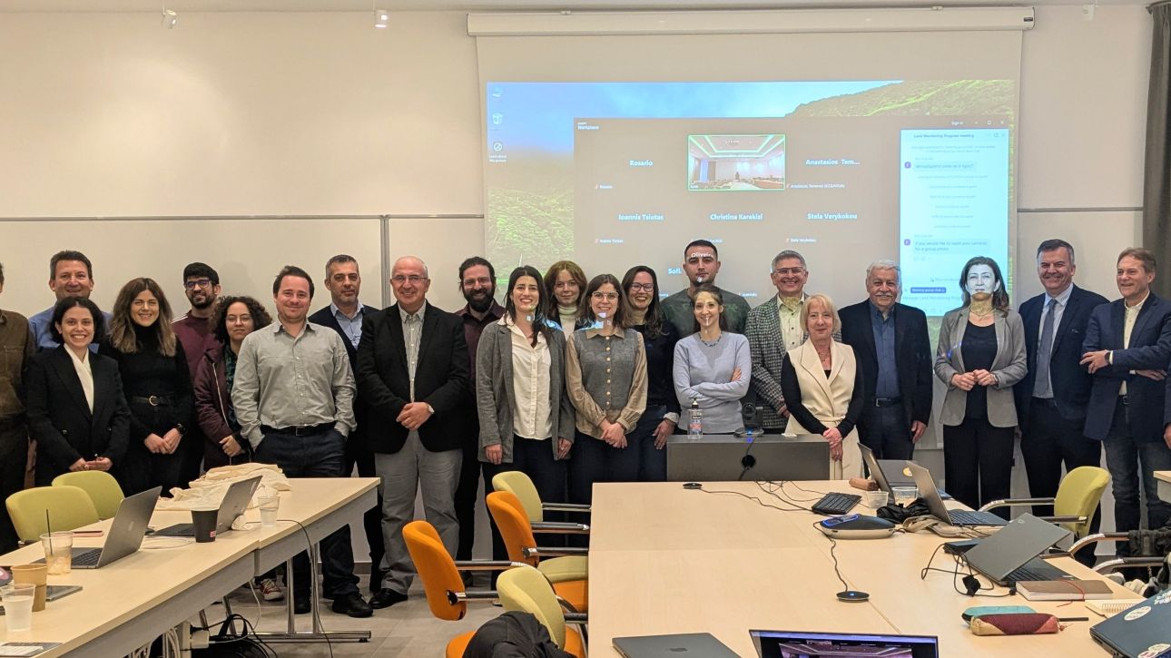
A working meeting for the “Land & Forest” services of Axis 3 of the Greek Microsatellites project was held at the Foundation for Research and Technology – Hellas (FORTH) on…
The recent seismic activity between Santorini and Amorgos has highlighted the need for systematic monitoring of geohazards in Greece, especially in areas exposed to earthquakes, landslides, soil erosion, subsidence, and…
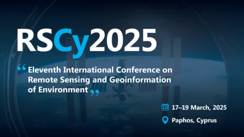
GEOSYSTEMS HELLAS S.A. (GSH) is proud to sponsor the 10th International Conference on Remote Sensing and Geoinformation of Environment (RSCY 2025), taking place in Cyprus.
RSCY 2025 brings together experts,…
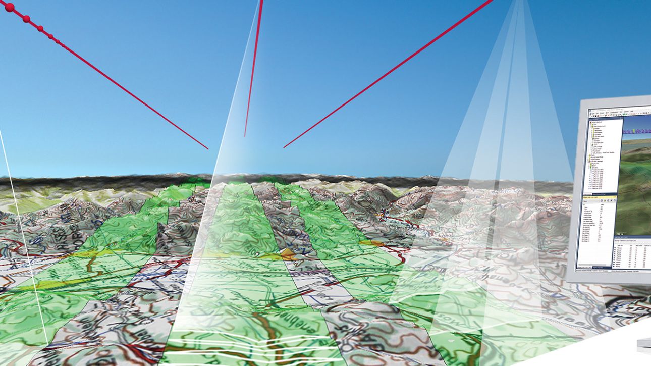
Leica MissionPro Flight Planning Software
Mission Planning in Another Dimension 1 + 1 = 3D is the ultimate formula for successful collaboration: when two get together, something new is created. Leica…
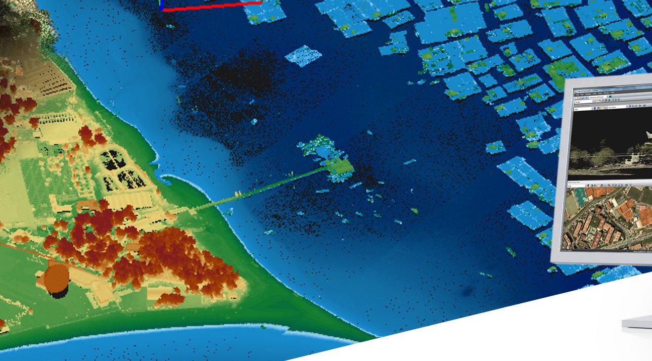
Leica LiDAR Survey Studio
Complete processing for airborne LiDAR sensors
Leica LiDAR Survey Studio (Leica LSS) is a state-of-the-art software tool for point cloud generation and cleaning of raw LiDAR data…
Leica XPro - Post Processing Software
Leica XPro is post-processing software for airborne imagery and photogrammetry workflows. It supports fast data processing from image download to orthophoto generation. The software…
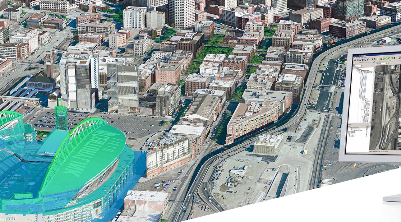
Leica HxMap High-Performance Multisensor Workflow
Leica HxMap is high-performance multisensor workflow software for airborne data processing. It supports image, LiDAR and 3D data workflows in one interface. This helps users…
Leica FlightPro Flight Management & Control System
Make every survey flight a success
Leica FlightPro is a state of the art flight management and sensor control system that makes survey flights…
Leica HawkEye-5 Bathymetric LiDAR Sensor
Leica HawkEye-5 Bathymetric LiDAR Sensor for Deep-Water Surveys Leica HawkEye-5 is a stabilised bathymetric LiDAR sensor for detailed data capture in deep waters. It provides…
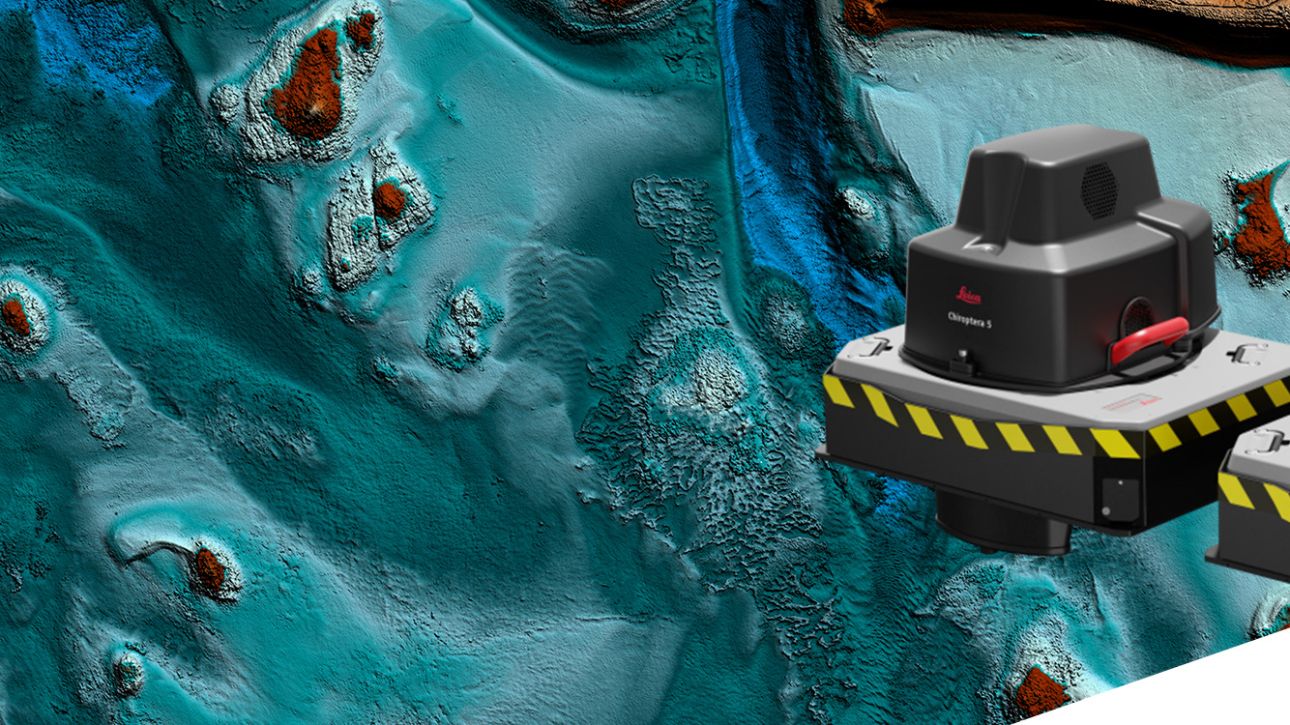
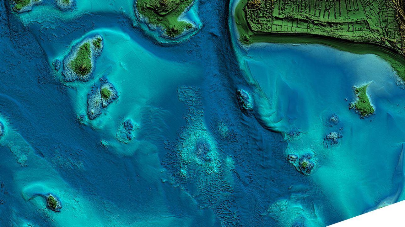
Leica Chiroptera-5 Bathymetric & Topographic LiDAR
Superior point density and depth penetration for coastal and inland water surveys Efficient Workflow
Near real-time data processing enables coverage analysis immediately after landing,…