The SAT4GAIA project will create Greece’s national Earth monitoring service under the National Microsatellite Program. It will turn satellite data into reliable and actionable geospatial information. The project will support…
The SAT4ΦOREST project aims to develop an integrated satellite-based monitoring service for the protection and sustainable management of Greece’s forests. By leveraging data from the National Microsatellite Constellation, the project…
The LUCAS 2025 project is focused on creating an updated, harmonized, and high-quality dataset of land use and land cover across all EU Member States. This dataset will support evidence-based…
2021: Austrian Archaeological Institute: 3D mapping of the wider area of the archeological site of Aigeira. More specifically, 3D imaging with LiDAR system and aerial photography and produced as final…
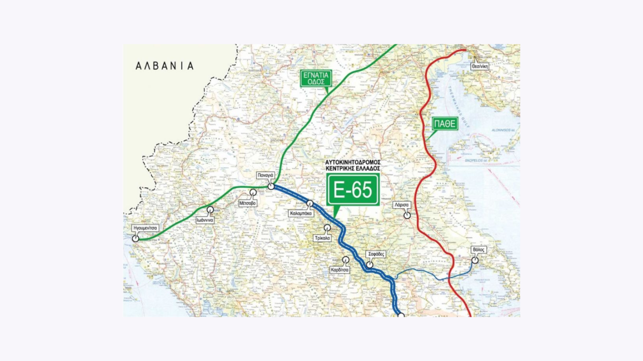
Geosystems Hellas contributed to the topographic background survey for the Central Greece Motorway E65, using a LiDAR system in parallel with aerial photography to support the needs of flood protection…