Leica HxMap High-Performance Multisensor Workflow
Leica HxMap is high-performance multisensor workflow software for airborne data processing.
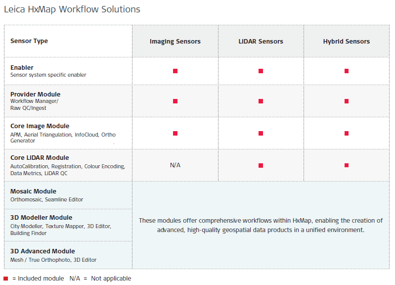
It supports image, LiDAR and 3D data workflows in one interface. This helps users process airborne data faster and reduce the need to move data between different software tools.
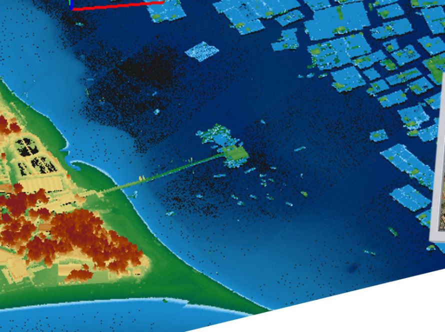
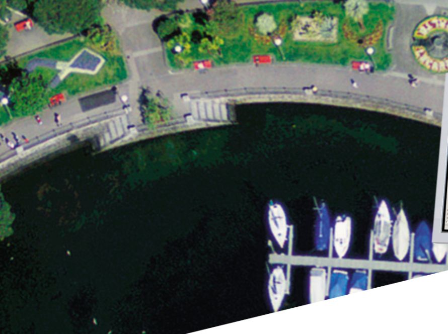
Leica HxMap supports the full workflow from data download and raw quality control to final product generation. It can be used for orthophotos, point clouds, referenced images, info clouds and 3D city models.
The software is suitable for large oblique projects, country-wide orthophoto production, LiDAR mapping and engineering projects.
With its modular structure, Leica HxMap can be adapted to different user needs. Organisations can add modules and licenses based on their specific applications and project requirements.
Key benefits
- One interface for airborne data processing
- Image, LiDAR and 3D workflow support
- Faster data throughput
- Raw data quality control
- Point cloud generation
- Orthophoto production
- 3D city model generation
- Modular and flexible software structure
- Reduced time and processing costs