Skip to content Skip to footer

Octave Imagine

Advanced Remote Sensing & Geospatial Image Analysis

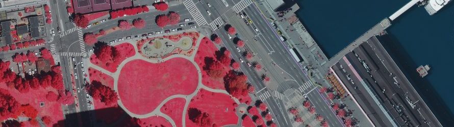
Octave Imagine (formerly ERDAS IMAGINE) delivers powerful tools for satellite imagery processing, remote sensing, spatial modeling and geospatial data analysis.

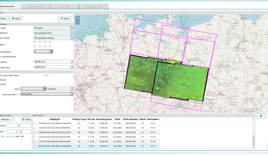
Designed for professionals working with complex geospatial datasets, Imagine supports image classification, LiDAR and point cloud analysis, SAR processing, photogrammetry and advanced 2D and 3D visualization.

Available Editions

  • Imagine Essentials: Image visualization, mapping and essential geospatial processing.

  • Imagine Advantage: Advanced image processing, radar analysis and point cloud capabilities.

  • Imagine Professional: Advanced classification, spatial modeling, hyperspectral analysis and automated workflows.

Octave Imagine 2025 Update 1

The latest provided update introduces enhancements designed to improve processing efficiency, spatial analysis and everyday productivity.

Key Improvements

  • Faster Raster Processing: Improved Layer Stack utility and new Union Rasters operator.

  • Enhanced Spatial Modeler: Easier model creation, editing and workflow automation.

  • Advanced SAR & Point Cloud Analysis: New operators for target detection, despeckling and point cloud processing.

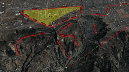
  • Improved 3D Visualization: Better terrain analysis, topographic normalization and 3D interpretation.

  • Expanded Data Compatibility: JPEG XL support and additional satellite sensor models.

Why Choose GEOSYSTEMS HELLAS?

GEOSYSTEMS HELLAS combines geospatial expertise with advanced Octave software solutions to help organizations maximize the value of their satellite imagery and geographic data.

Contact our team for product information, licensing and technical support.

Request a Demo: Contact Our Experts

Imagine add-ons


Enhance Imagine with specialized add-ons for photogrammetry, radar analysis, 3D visualization, feature extraction and automated geospatial workflows.

  • Imagine Photogrammetry: Accurate triangulation and orthorectification.

  • Imagine Objective: Automated feature extraction from imagery.

  • Imagine SAR Interferometry: Elevation and surface movement analysis.

  • Imagine SAR Feature Extraction: Automated radar feature extraction.

  • Imagine DSM Extractor: Automated DSM and DTM generation.

  • Imagine MrSID Encoders: High-quality imagery compression.

  • Imagine Expansion Pack: 3D visualization, stereo and radar tools.

  • Imagine Terrain Editor: Interactive 3D terrain editing.

  • Spatial Modeler SDK: Custom workflows, automation and AI integration.

  • ATCOR for Imagine: Atmospheric correction of satellite imagery.

  • Imagine Engine: High-performance distributed processing.

  • Imagine Google Earth Extension Consumption Packs: Google Earth Engine integration.

  • Imagine Stereo Analyst: Stereo viewing and 3D feature extraction.

Imagine portfolio

web

Octave Imagine Web

Formerly M.App X, this cloud-based geospatial intelligence platform provides tools to exploit imagery and create imagery-derived information products and reports.
pro600

Octave Pro600

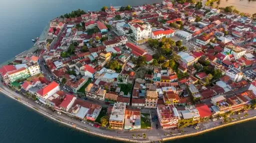
Formerly PRO600, this CAD-based photogrammetry solution enables precise 3D stereo imagery viewing, feature collection and terrain modeling in Bentley MicroStation and OpenCities Map.
ECW

Octave ECW Compression

Formerly ECW Compression, this suite, including .ecw format technology, helps organizations efficiently compress, store and stream massive geospatial datasets.

web

Octave GeoCompressor

Formerly GeoCompressor, this high‑performance geospatial image and point cloud compression technology handles massive datasets without sacrificing quality or speed
Skip to content